Catalog Archive
Auction 184, Lot 792

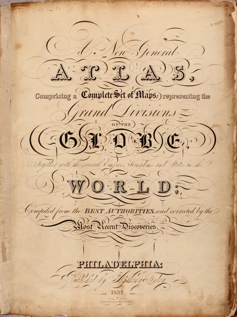
An Early and Important American Atlas - Complete

"A New General Atlas, Comprising a Complete Set of Maps, Representing the Grand Divisions of the Globe, Together with the Several Empires, Kingdoms and States in the World...", Finley, Anthony

Subject: Atlases

Period: 1832 (published)

Publication:

Color: Hand Color

Size:
11.3 x 14.1 inches
28.7 x 35.8 cm
Download High Resolution Image
(or just click on image to launch the Zoom viewer)

Finely's maps employ a delicate and elegant engraving style and provided extensive topographical and watershed information. He was the dominant map maker in the United States in the early 1820s into the 1830s. His atlases were very successful, outselling rival atlases by Carey & Lea, and Tanner. His maps were printed on high quality paper and were routinely corrected and updated.

This is an important American published atlas, complete with all 62 plates. Finley's General Atlas was very popular with the public and went through several editions from 1824-36, outselling rival atlases by Carey & Lea and H.S. Tanner. His maps were printed on high quality paper and employed an elegant engraving style with extensive topographical information that were routinely corrected and updated. Ristow notes that beginning with the 1826 edition, new data was added to the states in the upper Mississippi Valley. Of particular interest in this 1832 edition are the map of Florida and maps of the trans-Appalachian west where settlements were rapidly developing on the frontier.

Florida. This is the rare first state of Finley's map of Florida, which first appeared in the 1831 edition of the atlas, and is here unchanged. Florida didn't become a state until 1845, and this is one of the earliest maps of the territory to appear in a commercial atlas. The majority of the peninsula is comprised of the large Alachua, Mosquito, and Monroe counties, with a region in the center labeled Seminoles and Indian Reserve. Some early roads are shown in the northern half of the peninsula. The map includes large insets of plans of Tallahassee and Pensacola.

Mississippi. Handsome map of the state that details the county seats, roads, towns and settlements, and watershed. Development is primarily in the southern portion and mostly along the rivers with virtually no other settlements noted. Monroe is the only county in the north, which was carved out of Chickasaw Indian lands where Cotton Gin Port is located. The early U.S. government built a cotton gin here in 1801 as part of a "plan of civilization" for the Chickasaw Indians. The huge Choctaw Indians region occupies the middle section. In it are noted three missionary stations: Mayhew, Elliott and Monroe, plus the Old Agency, and Yazoom Lower Town. The map shows 24 counties, correct for about 1828, plus the Choctaw and Chickasaw Indian areas.

Illinois. The upper portion of the state shows the tribal lands of the Sac & Fox, and the Winnebago Indians are noted. Below this line, the northern counties are very large with little development although Chicago and Ft. Dearborn are noted. The southern portion of the territory is more developed with a network of roads and trails connecting settlements.

Also of interest is the map of the eastern United States which depicts large Missouri, Arkansas, and North West territories. The map of Mexico includes what will become the independent Republic of Texas in 1836, here labeled Coahuala and Texas. Also featured is the uncommon Map of the West Coast of Africa from Sierra Leone to Cape Palmas, including the colony of Liberia, which has an inset of Monrovia. At the back of the atlas are the thematic charts Comparative eights of the Principal Mountains and Comparative Lengths of the Principal Rivers.

All maps were engraved by Young & Delleker and the ornate title page and table of contents was lettered by Joseph Perkins. Title page, table of contents, 60 maps (four of which are double-page), and 2 thematic charts. Hardbound in original quarter maroon leather with tips over marbled boards with a green printed title label on front cover and gilt bands and titling on spine. Professionally re-backed with original spine remounted neatly and skillfully. With Finley's original paper label on the inside front cover listing other maps for sale with price. A highly desirable American atlas.

References:

Condition: B+

The maps are in bold, full contemporary color with light occasional soiling and minor toning. The map of the eastern United States has chips along the fore-edge that have been replaced with cello tape, well away from the image. The map of Vermont has tea-colored stains at top. The maps of Pennsylvania, Virginia and Palestine have archival tissue repairs to several short edge tears or separations along the centerfold, and New York and New Jersey each have a short tear at bottom that has been closed with archival tape. The title page is toned and soiled with chips along the edges. The covers are worn with some abrasions and bumped corners.

Estimate: $4,750 - $6,000

Sold for: $3,500

Closed on 9/15/2021

Archived