Catalog Archive
Auction 184, Lot 791

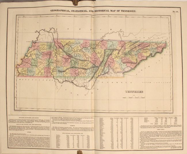
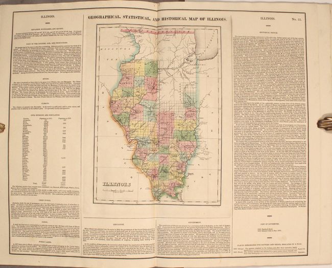
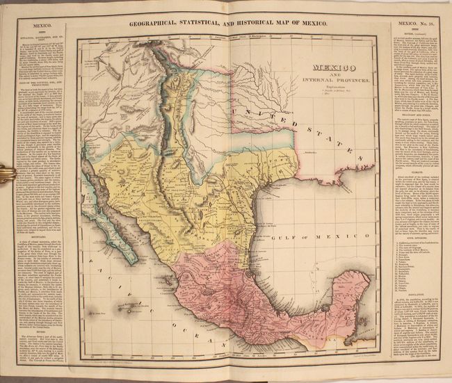
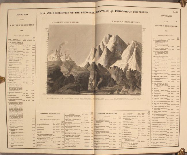
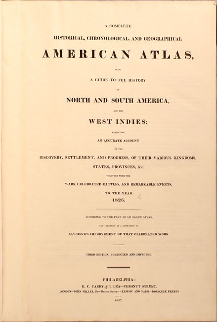
Complete Example of Carey & Lea's Atlas

"A Complete Historical, Chronological, and Geographical American Atlas, Being a Guide to the History of North and South America, and the West Indies...", Carey & Lea

Subject: Atlases

Period: 1827 (published)

Publication:

Color: Hand Color

Size:
12.6 x 18.1 inches
32 x 46 cm
Download High Resolution Image
(or just click on image to launch the Zoom viewer)

This attractive and complete atlas was issued at the beginning of the golden age of American cartography in Philadelphia. It includes all 53 called for plates with maps and tables of North America, South America, the United States and the West Indies. Following Le Sage's model, each of the maps is surrounded by text including economic, political, social and historical data. Of particular interest are the following maps:

Geographical, Statistical, and Historical Map of Arkansas Territory (14.7 x 14.5"). For this commercial atlas version of the seminal Stephen Long report map, Carey & Lea chose a single sheet format at a reduced scale with the political boundaries highlighted in color. This is one of the most important maps of the American West, which Wheat calls the "most interesting map in this Atlas." It covers the Missouri River Basin north to the Mandan villages and west to the Rocky Mountains. Long's map corrected a number of geographical inaccuracies, foremost the erroneous course of the Red River. As on Long's manuscript map the "Highest Peak," James Peak, and Spanish Peaks appear and the route of his expeditions are clearly delineated. South of the Republican Fork appears the significant legend that reads "The Great Desert is frequented by roving bands of Indians who have no fixed place of residence but roam from place to place in quest of game"; this is a change from Long's report map, where he famously referred to the "Great American Desert." Engraved by Young & Delleker.

United States of America (21.1 x 16.9"). A great map by the important American cartographer John Melish. The map extends west to longitude 109°, with the northern border of the United States extending into present-day Canada. It provides a detailed view of the Missouri River and the headwaters of the Columbia River, based on information from Lewis and Clark's expedition. To the south, it is one of the earliest maps to use Stephen H. Long's material and the name Long's Peak first appears on this map. The new state of Missouri is shown with its straight western border. Michigan Territory includes the eastern part of present-day Wisconsin, which is still a part of North West Terry. The large Arkansas Territory takes in most of present-day Oklahoma. Texas and the Southwest are an interesting hodgepodge of regions, including the Great American Desert, New Mexico, New Santander. In Texas there are a few place names including Ft. Matagorda, but Galveston is poorly located. The map was engraved by Benjamin Tanner.

Geographical, Statistical, and Historical Map of Michigan Territory (10.6 x 14.5"). This is the first separate map of Michigan Territory. There is no development and little detail with the exception of a few forts and towns along the coast of Lake Erie and Lake St. Clair, and a new settlementon the Saganaw River. Ft Brown and Camp Smith are also located south of Green Bay, which was at this time a part of Michigan Territory. The Indian Line separates the territory roughly in half, with four counties named, but undesignated, in the southern section. There are notes locating portages and Fertile Land. There is a road shown connecting Ft Wayne, Indiana with Mt. Clemens. Two panels of English text flank the map providing fascinating details of the new territory and noting the total population at 8,896.

Small elephant folio. Third edition. Hardbound in black quarter leather with tips over tan paper-covered boards with gilt decoration and titling on spine.

References: Phillips (Atlases) #1373a; Wheat (TMW) #348 & #352; Karpinski #91.

Condition: A

The maps are clean and bright with full contemporary color. A couple of maps have an occasional spot, and the map of Brazil has very light toning. The front free-endpapers and pastedown are foxed and bear a previous owner's signature and bookplate. The binding is sound but the hinges are starting and the covers are toned, foxed and soiled. The leather spine and tips have a number of abrasions and the spine is sunned.

Estimate: $5,500 - $6,500

Sold for: $6,000

Closed on 9/15/2021

Archived