Catalog Archive
Auction 184, Lot 610
"Imperium Persarum in Viginti Provincias Sortitum a Dario Histaspis Filio", Moll, Herman
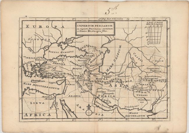
Subject: Eastern Mediterranean & Middle East
Period: 1721 (circa)
Publication: Geographia Classica
Color: Black & White
Size:
9 x 6.2 inches
22.9 x 15.7 cm
Download High Resolution Image
(or just click on image to launch the Zoom viewer)
(or just click on image to launch the Zoom viewer)