Catalog Archive
Auction 184, Lot 526
"Parte Orientale del Regno di Boemia di Nuova Projezione", Zatta, Antonio
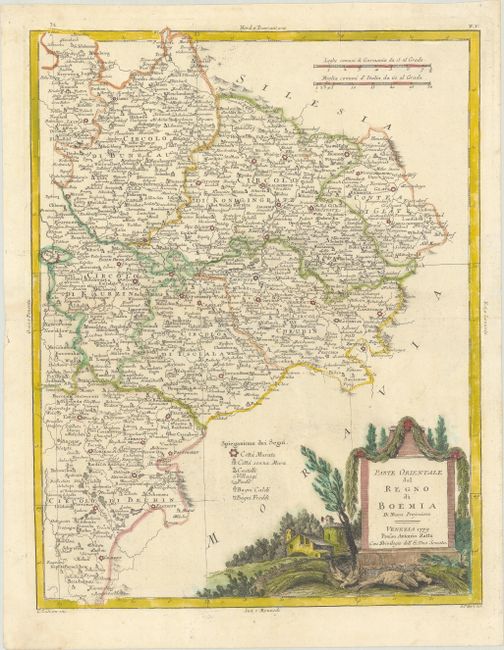
Subject: Eastern Czech Republic
Period: 1779 (dated)
Publication: Atlante Novissimo
Color: Hand Color
Size:
12.1 x 15.8 inches
30.7 x 40.1 cm
Download High Resolution Image
(or just click on image to launch the Zoom viewer)
(or just click on image to launch the Zoom viewer)