Catalog Archive
Auction 184, Lot 206

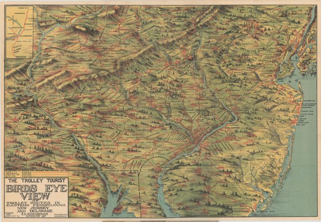
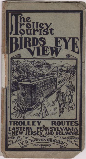
"The Trolley Tourist Birds Eye View of Trolley Routes in Eastern Pennsylvania New Jersey and Delaware",

Subject: Pennsylvania, New Jersey

Period: 1907 (dated)

Publication:

Color: Printed Color

Size:
20.1 x 13.6 inches
51.1 x 34.5 cm
Download High Resolution Image
(or just click on image to launch the Zoom viewer)

This attractive pictorial map was compiled and published by E.H. Rosenberger in Philadelphia. It depicts the railroad network from just west of the Susquehanna River to the Atlantic Ocean, including the cities of Harrisburg, Philadelphia and New York. Forests and topography are presented with a pleasing three-dimensional perspective. Includes a small inset at top left from Forest City to Hazleton. Folds into pictorial paper wrappers (3.5 x 6.5"). No past sales records or examples located on OCLC.

References:

Condition: A

Condition code is for the map, which is clean, colorful, and issued folding. Front wrapper is detached and chipped along the left edge.

Estimate: $180 - $220

Sold for: $1,300

Closed on 9/15/2021

Archived