Catalog Archive
Auction 184, Lot 113

"North America, with the West Indies, Wherein Are Distinguished the United States, and All the Possessions Belonging to the European Powers...", Dunn, Samuel

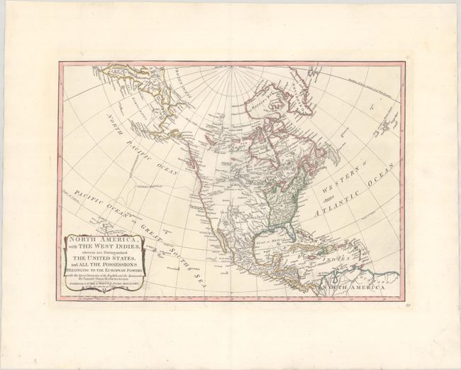
Subject: North America

Period: 1794 (dated)

Publication:

Color: Hand Color

Size:
17.3 x 11.9 inches
43.9 x 30.2 cm
Download High Resolution Image
(or just click on image to launch the Zoom viewer)

This is an updated version of Dunn's map first published in 1774 just prior to the start of the Revolutionary War. This edition of the map has been updated to show the new United States extending to the Mississippi River, naming New England, Pennsylvania, Virginia, the Carolinas and Georgia. Alaska has been updated based upon the recent discoveries and includes the tracks of Captain Cook in the Pacific. The map prominently depicts a River of the West connecting to Lake Winnipeg as well as a secondary "River of the West According to Some" that takes a southerly course to Pikes Lake. Taos and Santa Fe are located in New Mexico, Cenis in Texas, and many Indian tribes are named in the interior. The map is color-coded to identify colonial holdings throughout the region, extending to the West Indies and northern South America. Published by Laurie & Whittle at 53 Fleet Street.

References: cf. Sellers & Van Ee #131.

Condition: A

On a clean sheet of watermarked paper with wide original margins.

Estimate: $475 - $600

Sold for: $275

Closed on 9/15/2021

Archived