Catalog Archive
Auction 183, Lot 573

"[Portfolio] An Atlas of Early Maps of the Midwest",

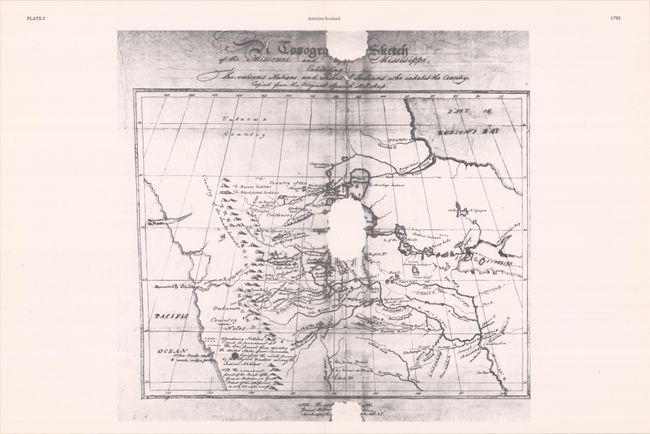
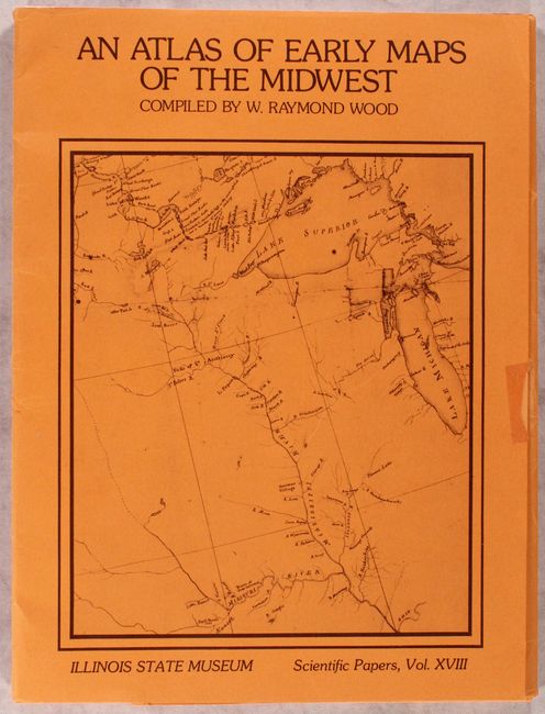
Subject: References, Central United States

Period: 1983 (published)

Publication:

Color: Black & White

Size:
12 x 16.2 inches
30.5 x 41.1 cm
Download High Resolution Image
(or just click on image to launch the Zoom viewer)

This fascinating portfolio of early maps of the American Midwest was compiled by W. Raymond Wood for the Illinois State Museum. It includes 22 maps over 55 sheets, with a few extra duplicates. The selection spans from Guillaume Delisle pen-and-ink manuscript map of the Missouri River (ca. 1714) to Gouverneur K. Warren's survey of the Missouri (1856). Most of the maps here are manuscript maps that were printed; the only published charts featured here are ones that are rare and difficult to obtain. Includes 8 pages of text providing context for each map. The maps are contained in an orange cardstock portfolio with an illustrated cover. Scientific Paper, Vol XVIII. An excellent resource for collectors interested in the region.

References:

Condition: B+

Other than a couple creased corners, the maps are in near fine condition. The portfolio has minor wear, a couple short tears, and some remnants of tape on the front cover.

Estimate: $120 - $150

Sold for: $90

Closed on 6/9/2021

Archived