Catalog Archive
Auction 183, Lot 556

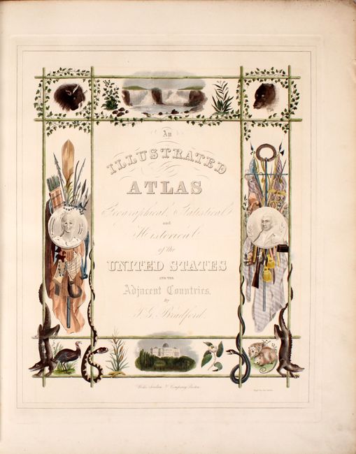
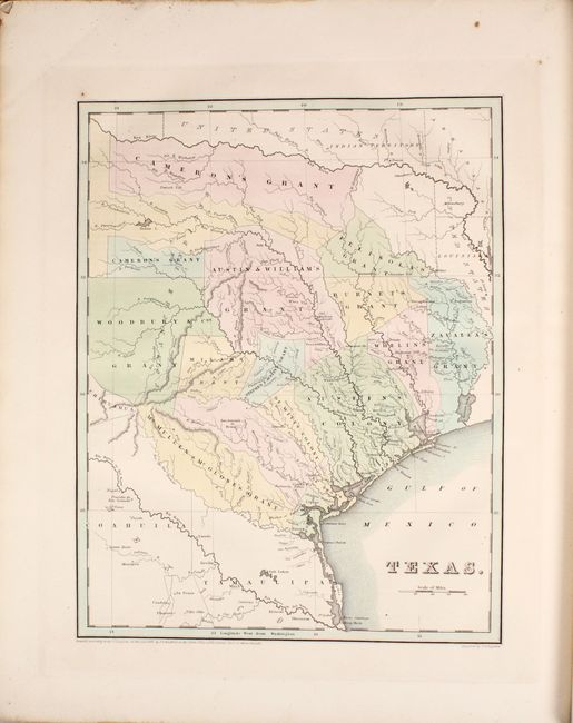
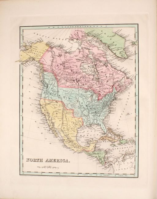
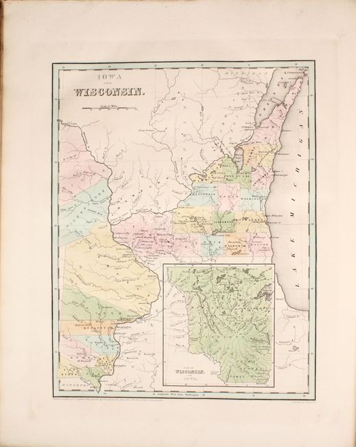
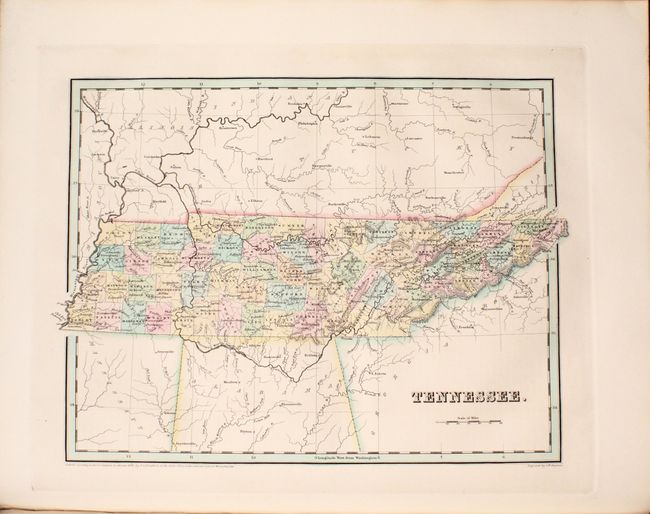
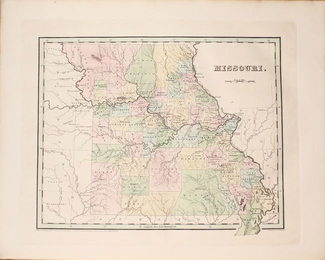
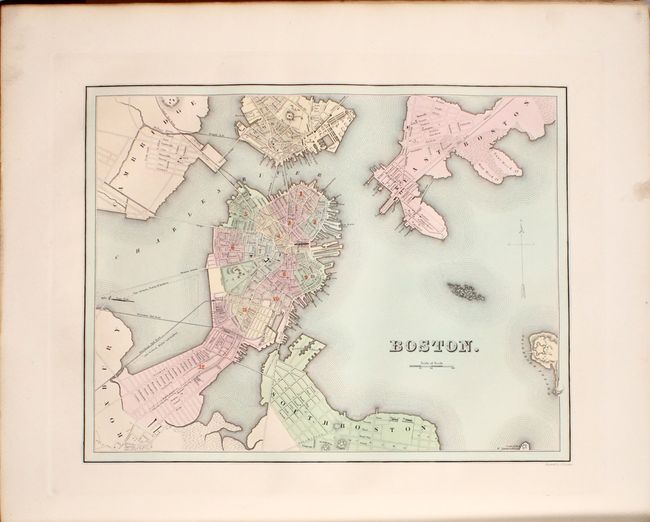
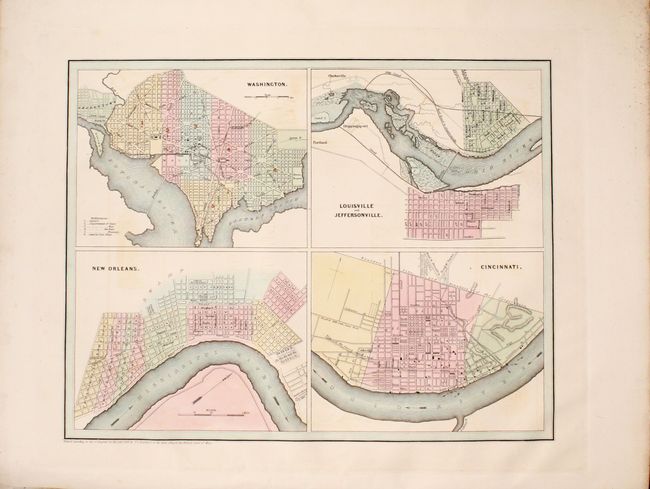
Large Edition of Bradford's Elaborate Illustrated Atlas

"An Illustrated Atlas Geographical Statistical and Historical of the United States and the Adjacent Countries", Bradford, Thomas Gamaliel

Subject: Atlases

Period: 1838 (published)

Publication:

Color: Hand Color

Size:
16.4 x 19.9 inches
41.7 x 50.5 cm
Download High Resolution Image
(or just click on image to launch the Zoom viewer)

In 1838 Bradford published this larger and much finer atlas as compared to his earlier Comprehensive Atlas that Ristow called "undistingushed." The Illustrated Atlas was printed in two sizes with the same maps (the larger version has wider margins). This complete example, printed by Weeks, Jordan, and Company from Boston, is the larger edition with frontispiece, two title pages, 170 pages, and 39 maps including one double-page map of the United States. All of the maps relate to North America and include 28 separate state maps, North America, United States, West Indies, Lower Canada, Upper Canada, and city plans of Washington, New Orleans, Louisville & Jeffersonville, Cincinnati (four plans on one sheet serving as the frontispiece), Boston, New York, Philadelphia, and Baltimore. Of particular interest are the following maps:

Texas. The map of the Republic of Texas is an early edition that was patterned on Stephen Austin's seminal map of 1830. The map shows the empresario grants, lakes, rivers, creeks, towns and Indian villages. The Old Mexican Garrison is located on the Brazos River north of Deer Creek. The border with Mexico is unclear as Mexico appears to go to the Rio de las Nueces but the name Mexico does not extend north of the Rio Grande. The northern boundary is along the Red River. Locates and names San Antonio de Bexar, San Felipe de Austin, Sabine, St. Augustine, Nacogdoches, Zavala, Tivis, Houston, Montezuma, Waco Village, Tenoxititlan, and more. There are approximately 17 grants named, including Stephen F. Austin, Woodbury & Cos, Cameron's, (two separate parts), Zavalla's and Whelin's. The large region around Austin is called Austin's Colony.

Iowa and Wisconsin. A scarce, early copper-engraved map that was issued in the same year that Iowa became a territory, making it one of the earliest depictions of Iowa Territory in a commercial atlas. The map extends from Missouri's northern border well into Canada and east to the middle of Lake Michigan. There are only 8 named counties in Iowa with Sioux and Winnebago lands to the north. Wisconsin is largely unsettled with only 18 counties names. The large inset, based on Nicollet, details the lands of the Dahcota or Sioux, Chippeways, Fox, Iowa, and Saulk Indians, and the watershed of the Missouri and Mississippi Rivers.

Each map is accompanied by extensive text descriptions that Ristow describes as "one of the first American general atlases to supplement the maps with lengthy geographical descriptions." All of the maps are engraved by G.W. Boynton with the exception of Mississippi which was engraved by S. Stiles, Sherman & Smith. The ornate title page was engraved by James Archer. Stereotyped and printed by Folsom, Wells & Thurston of Cambridge, Mass., "Printers to the University." Hardbound in later quarter leather with tips over brown cloth boards with gilt title on front cover.

References: Phillips (Atlases) #1381 & 11028; Ristow pp. 270-271; Day #32; Phillips (M) p. 842; cf. Martin & Martin #31.

Condition: A

The maps are almost entirely near fine to fine with strong impressions and beautiful hand coloring. Three maps in very good condition include: the United States map with light offsetting and minor toning along the centerfold; Virginia with light scattered foxing; frontispiece (4 inset city plans) with light offsetting. Text has occasional offsetting only on those pages opposing maps (only the map border has offset). Rebound with light shelf wear and bumped edges.

Estimate: $6,000 - $7,500

Sold for: $4,500

Closed on 6/9/2021

Archived