Catalog Archive
Auction 183, Lot 553

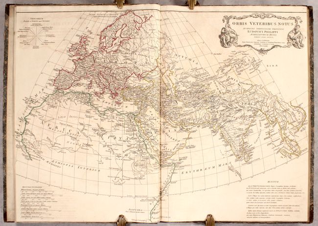
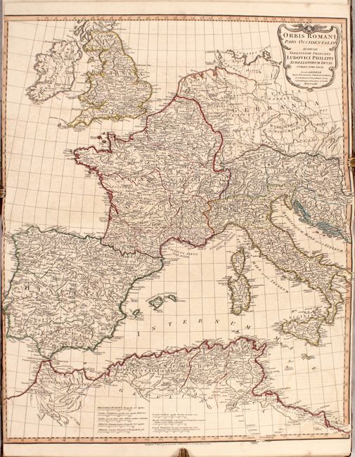
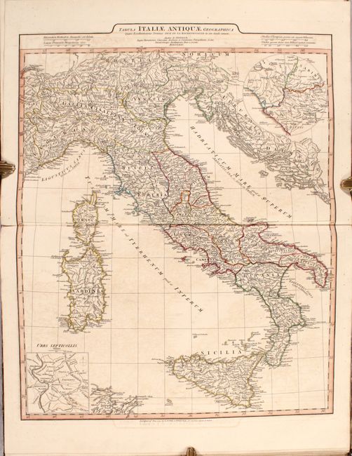
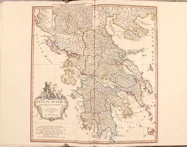
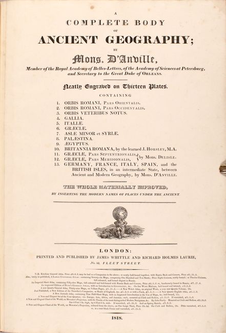
"A Complete Body of Ancient Geography...", Anville, Jean Baptiste Bourguignon d'

Subject: Atlases

Period: 1818 (published)

Publication:

Color: Hand Color

Size:
15.4 x 21.8 inches
39.1 x 55.4 cm
Download High Resolution Image
(or just click on image to launch the Zoom viewer)

This atlas of the ancient world includes 13 copper engraved maps, 12 of which are double-page. Of particular interest are the two double-page maps of Orbis Romani which show the full extent of the Roman Empire. The maps cover the area from Ireland and England east to Greece, Turkey and the Arabian Peninsula and contain very good detail of towns, cities, rivers and topography. The complete list of maps include:

Orbis Romani, Pars Orientalis
Orbis Romani, Pars Occidentalis
Orbis Veteribus Notus
Gallia
Italiae
Graeciae
Asiae Minor et Syriae
Palaestina
Aegyptus
Brittania Romana
Graeciae, Pars Septentrionalis
Graeciae, Pars Meridionalis
Germany, France, Italy, Spain, and the British Isles, in an Intermediate State, between Ancient and Modern Geography

The maps were drawn by Guillaume Delisle and Jean Baptiste Bourguignon d'Anville. Published by James Whittle and Richard Holmes Laurie in London at 53 Fleet Street. Elephant folio, rebacked with original marbled boards.

References:

Condition: B+

Overall crisp impressions with contemporary outline color and light offsetting. The two <i>Orbis Romani</i> maps are trimmed to just inside the left border by the binder. A former owner's bookplate is on the front pastedown. Rebacked with original boards, which are chipped along the edges.

Estimate: $500 - $650

Sold for: $800

Closed on 6/9/2021

Archived