Catalog Archive
Auction 183, Lot 509

"Tabula Africae IIII", Ptolemy/Magini

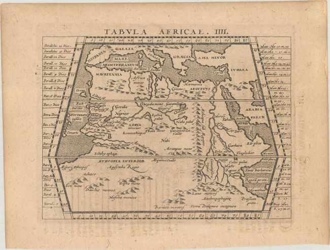
Subject: Northern Africa

Period: 1617 (published)

Publication: Ioannis Antonii Magini...Geographiae, Tum Veteris, Tum Novae...

Color: Black & White

Size:
6.6 x 4.9 inches
16.8 x 12.4 cm
Download High Resolution Image
(or just click on image to launch the Zoom viewer)

Claudius Ptolemy was a mathematician, astronomer and geographer who worked in Alexandria, then a part of the Roman Empire, in the 2nd century AD. One of the most learned and influential men of his time, his theories dominated both astronomy and geography for nearly 1500 years. His writings were kept alive by Arabic scholars during the Middle Ages and reemerged in Europe during the Renaissance. The birth of printing led to wide dissemination of his great works on astronomy and geography. There were a number of editions of his Geographia beginning in 1477. These early editions contained maps based on his original writings, known as Ptolemaic maps. As geographic knowledge increased with the explorations of Columbus, Magellan, Cabot and others, maps of the New World were added, and maps of the Old World were revised. Ptolemy's Geographia continued to be revised and published by some of the most important cartographers including Martin Waldseemuller, Sebastian Munster, Giacomo Gastaldi, Jodocus Hondius, and Gerard Mercator (whose last edition was published in 1730).

This map of northern Africa extends to include portions of southern Europe and the Middle East. It presents the continent to below the equator and depicts the Nile River originating from two lakes in the Mountains of the Moon. Fully engraved with mountains, rivers, lakes, and stippled seas. Latin text on verso. Printed in Arnhem by Jan Jansson.

References: Mickwitz & Miekkavaara #231-16.

Condition: B+

Even light toning.

Estimate: $120 - $150

Sold for: $70

Closed on 6/9/2021

Archived