Catalog Archive
Auction 183, Lot 353
"Tavola Nuova di Prussia et di Livonia", Ruscelli, Girolamo
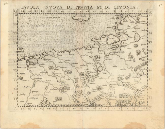
Subject: Baltic
Period: 1561 (circa)
Publication: La Geografia di Claudio Tolomeo Alessandrino…
Color: Black & White
Size:
9.7 x 7.1 inches
24.6 x 18 cm
Download High Resolution Image
(or just click on image to launch the Zoom viewer)
(or just click on image to launch the Zoom viewer)