Catalog Archive
Auction 183, Lot 351
"Gothia", Hondius, Henricus
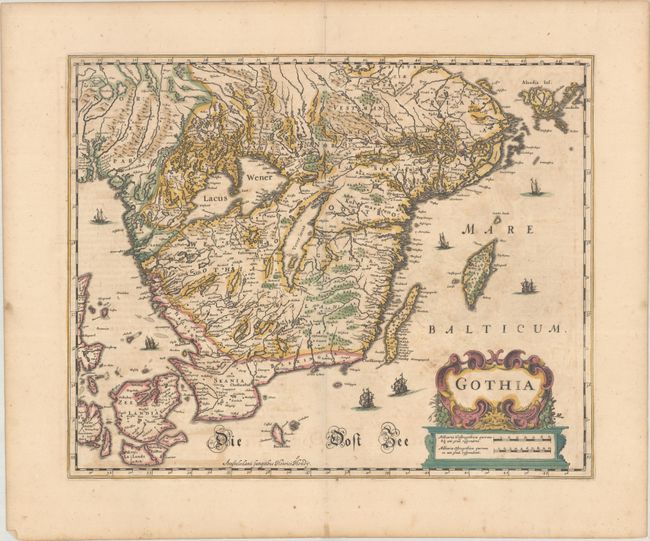
Subject: Southern Sweden
Period: 1639 (circa)
Publication: Nouveau Theatre du Monde
Color: Hand Color
Size:
19.2 x 15.4 inches
48.8 x 39.1 cm
Download High Resolution Image
(or just click on image to launch the Zoom viewer)
(or just click on image to launch the Zoom viewer)