Catalog Archive
Auction 183, Lot 276

"Carte de la Guiane pour Servir a l'Hist. Generale des Voyages", Bellin, Jacques Nicolas

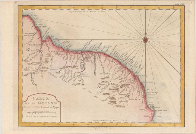
Subject: Guyana, Suriname, French Guiana

Period: 1773 (dated)

Publication: Histoire Generale des Voyages

Color: Hand Color

Size:
12.4 x 9.1 inches
31.5 x 23.1 cm
Download High Resolution Image
(or just click on image to launch the Zoom viewer)

Very attractive chart showing the northeast coast of South America from west of the Essequibo River to Cap de Nord, just above the entrance to the Amazon River. The primary harbors of Paramaribo and Cayenne are identified, with only mountains & rivers appearing inland. A note in the interior states that the interior of the land is not well known. Adorned with a compass rose and a simple title cartouche. Engraved by A. van Krevelt.

References:

Condition: A

A crisp impression, issued folding on a bright sheet with one tiny hole in an unengraved area of the image.

Estimate: $80 - $95

Sold for: $60

Closed on 6/9/2021

Archived