Catalog Archive
Auction 183, Lot 273

"Terre Ferme ou sont les Governations, ou Gouvernemens de Terre Ferme, Cartagene, Ste. Marthe, Rio de la Hache, Venezuela, Nouvelle Andalusie, Popayan, Nouveau Royme. de Grenade, &c...", Sanson/Mariette

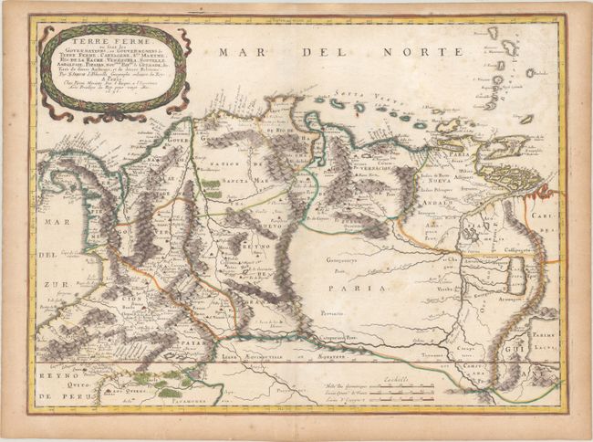
Subject: Northern South America

Period: 1656 (dated)

Publication: Cartes Generales de Toutes les Parties du Monde

Color: Hand Color

Size:
21 x 15.6 inches
53.3 x 39.6 cm
Download High Resolution Image
(or just click on image to launch the Zoom viewer)

This attractive map is one of the most up-to-date and important maps of the region produced in the mid-seventeenth century. It provided graphic topographic depictions of mountains, rivers and forests, along with cities and settlements in Colombia and Venezuela. The course of the Rio de Paria (Orinoco River) is well delineated. Venezuela's Caribbean coastline is depicted along with the nearby islands of Aruba, Curacao, Bonaire, Margarita and Trinidad and Tobago. A large, wreath-style, title cartouche is nestled above Panama and Colombia.

References: Pastoureau, SANSON V A [91].

Condition: B+

Contemporary outline color with later color in the cartouche, on paper with a large coat of arms watermark. There is scattered foxing and toning along the edges of the sheet.

Estimate: $400 - $475

Sold for: $200

Closed on 6/9/2021

Archived