Catalog Archive
Auction 183, Lot 145

"La Louisiane et Pays Voisins", Bellin, Jacques Nicolas

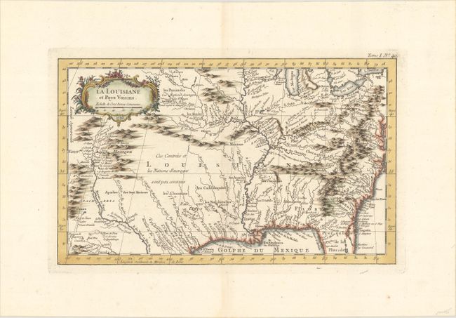
Subject: Colonial Southern United States

Period: 1763 (dated)

Publication: Le Petit Atlas Maritime

Color: Hand Color

Size:
13.7 x 8.3 inches
34.8 x 21.1 cm
Download High Resolution Image
(or just click on image to launch the Zoom viewer)

Superb small map based on Delisle's map of the French colony of Louisiana. The map extends from the Great Lakes to the Gulf of Mexico and from Nouveau Mexique to Florida (not showing the tip). Many Indian place names, forts, and early European settlements are shown. Nouveau Mexique in the far west includes Santa Fe and names S. Jerome de Taos. The decorative title cartouche includes the distance scale. This map should not be confused with the smaller and more common Carte de la Louisiane et Pays Voisins issued in the Histoire Generale de Voyages in 1757. This chart extends further west and is printed on better paper.

References: Mickwitz & Miekkavaara #10:I [40]; Phillips (A) #638; Tooley (MCC-96) #853.

Condition: A

A sharp impression on watermarked paper with a hint of toning along the centerfold.

Estimate: $400 - $475

Sold for: $300

Closed on 6/9/2021

Archived