Catalog Archive
Auction 182, Lot 98

"North America", Wilkinson, Robert

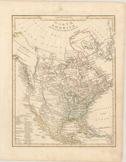
Subject: North America

Period: 1808 (dated)

Publication: A General Atlas

Color: Hand Color

Size:
8.9 x 11 inches
22.6 x 27.9 cm
Download High Resolution Image
(or just click on image to launch the Zoom viewer)

This handsome map is a fascinating look at the continent published in the years before the landmark 1814 Lewis and Clark map forever changed mapping of the Northwest. The United States is shown with its boundary on the Mississippi River, but with the notation that Louisiana Territory was ceded to the United States in 1803. The area north of Kentucky and the Ohio River is labeled Western Territory. West of the Mississippi, there are a number of conjectural rivers and plenty of interesting place names, including Tecas, Teguajo, Quivira or Moozemlek, and New Albion. Another uncommon regional name is New Iberia, the original Spanish settlement in the region of New Madrid, Missouri. The Pacific Northwest is noted with Vancouver's surveys. Present-day Alaska is here identified as Russian Settlements. Greenland is attached to Canada, with a couple conjectural straits, including one named Fin Whale Strait, slicing through its southern tip. A key at bottom left indicates possessions of the United States, Britain, Spain, and Denmark. Engraved by B. Smith.

References:

Condition: A

There is minor scattered foxing and light soiling that is almost entirely confined to the blank margins.

Estimate: $275 - $350

Sold for: $200

Closed on 4/28/2021

Archived