Catalog Archive
Auction 182, Lot 81
"L'Amerique Dressee pour l'Etude de la Geographie", Brion de la Tour/Desnos
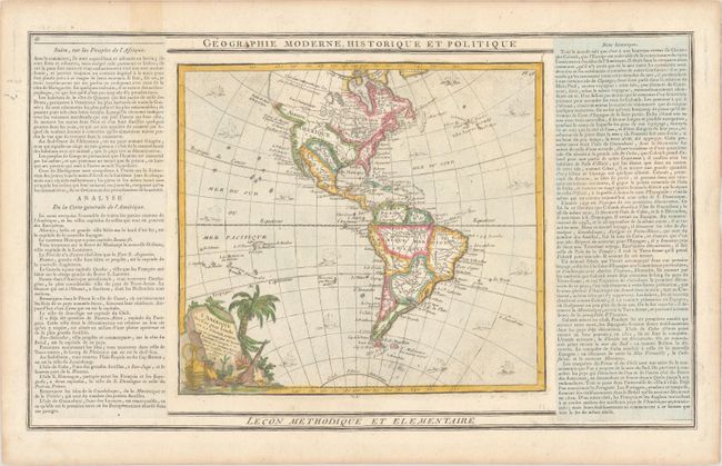
Subject: Western Hemisphere - America
Period: 1798 (dated)
Publication:
Color: Hand Color
Size:
10.2 x 9.2 inches
25.9 x 23.4 cm
Download High Resolution Image
(or just click on image to launch the Zoom viewer)
(or just click on image to launch the Zoom viewer)