Catalog Archive
Auction 182, Lot 796

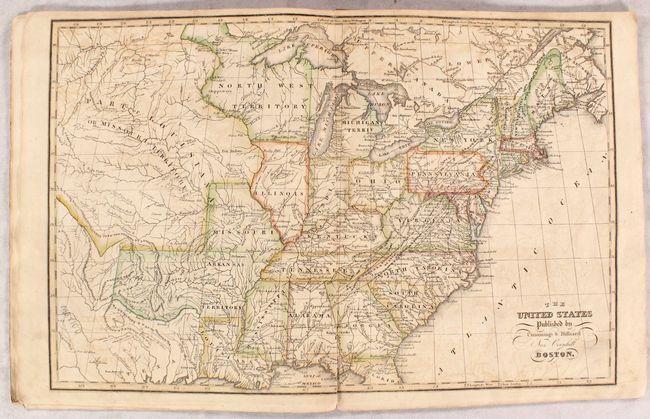
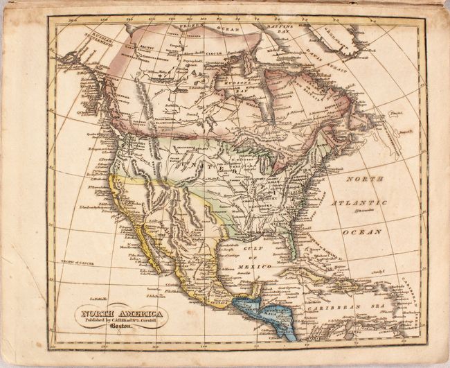
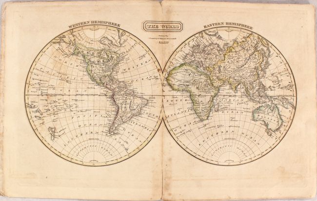
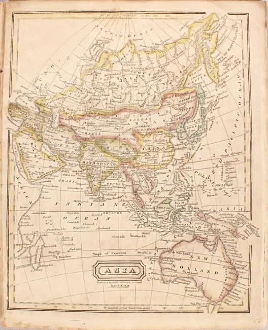
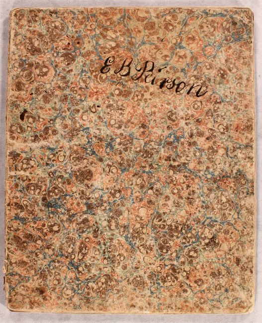
"[Untitled - School Atlas]", Cummings & Hilliard

Subject: Atlases

Period: 1821 (circa)

Publication:

Color: Hand Color

Size:
9.8 x 12 inches
24.9 x 30.5 cm
Download High Resolution Image
(or just click on image to launch the Zoom viewer)

This school atlas, issued without title or text, was used to illustrate one of Cummings' text books. It is complete with nine maps, including double-page maps of the World and United States and single-page maps of North America, South America, Europe, Western Europe, Britain, Asia and Africa. Of particular interest is the map of the United States (17.3 x 11.3") showing both the state of Missouri and a large "Part of Louisiana or Missouri Territory" reaching to the Rocky Mountains. A large Northwest Territory covers present-day Wisconsin and eastern Minnesota, and Arkansas Territory includes present-day Oklahoma. Texas is part of Mexico and shown along the Gulf Coast between San Antonio and Galveston. Folds into marbled papers with the signature of "E B Peirson" on the front wrapper.

References:

Condition: B

The maps are good with light to moderate offsetting, light toning, and occasional foxing or staining. Wrappers are moderately worn.

Estimate: $275 - $350

Sold for: $550

Closed on 4/28/2021

Archived