Catalog Archive
Auction 182, Lot 794
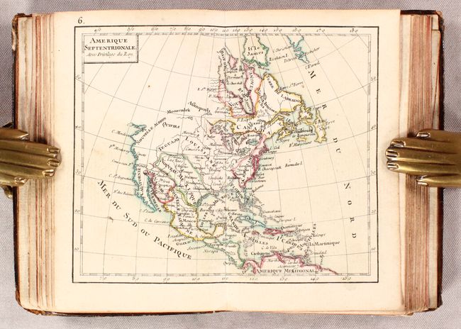
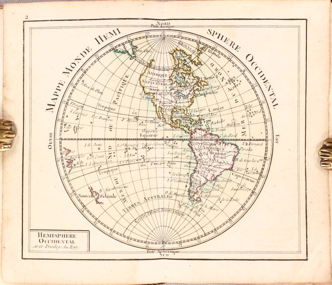
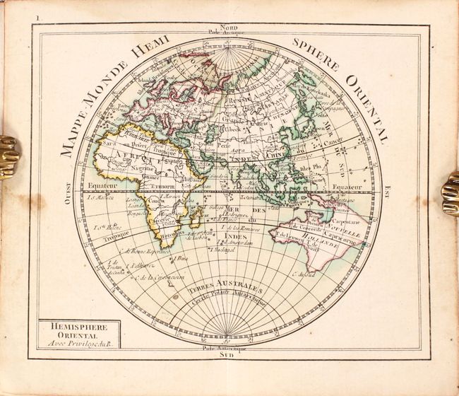
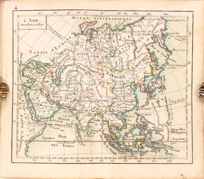
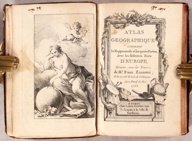
First Edition

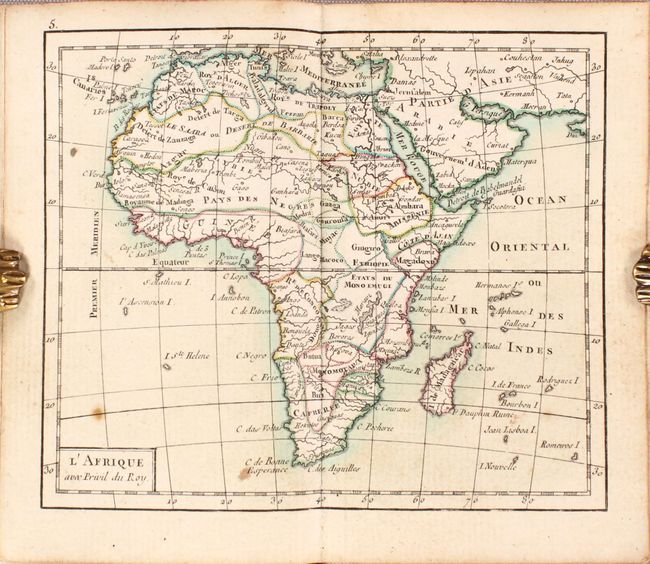
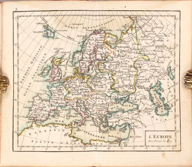
"Atlas Geographique Contenant la Mappemonde et les Quatre Parties, avec les Differents Etats d'Europe", Rizzi-Zannoni, Giovanni Antonio

Subject: Atlases

Period: 1762 (published)

Publication:

Color: Hand Color

Size:
3.4 x 5 inches
8.6 x 12.7 cm
Download High Resolution Image
(or just click on image to launch the Zoom viewer)

This handsome miniature atlas is nearly complete with 25 of the 26 issued maps, missing only a regional map of France. Maps include the Eastern Hemisphere, Western Hemisphere, Europe, Asia, Africa, North America, South America, and the regions of Europe. Cartographically, the map of the Eastern Hemisphere shows a large Australian landmass with New Guinea and Tasmania still connected, and the the North America map shows a virtually blank northwestern coast. There is an attractive frontispiece depicting the allegorical figure of Geography measuring a globe with a putto's assistance. First edition with the title page engraved by L. Legrani. 32mo., hardbound in contemporary leather with gilt decorations and title on spine.

References: Shirley (BL Atlases) T.RIZ-1a.

Condition: B+

Very good with light dampstains along the upper centerfold and top margin of most maps. Rear endpaper is partially loose. Covers are lightly worn with bumped corners and the front board bowed.

Estimate: $1,200 - $1,500

Sold for: $800

Closed on 4/28/2021

Archived