Catalog Archive
Auction 182, Lot 727

"Carte de la Barbarie le la Nigritie et de la Guinee", Delisle, Guillaume

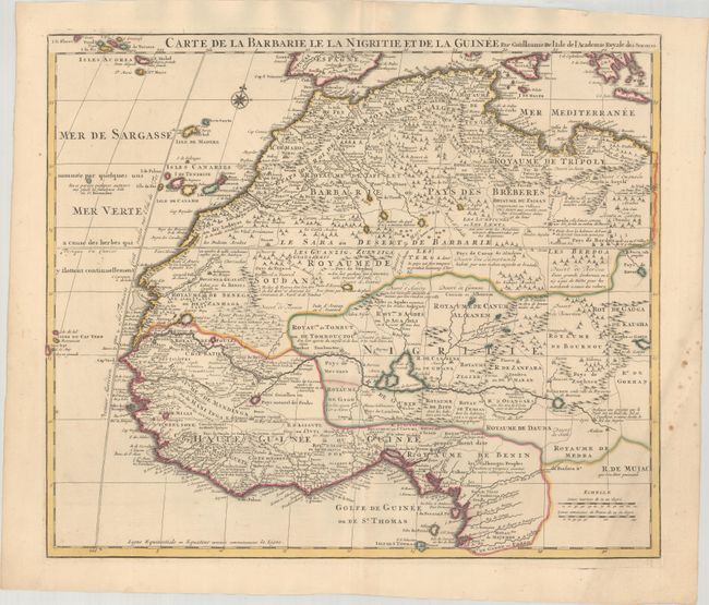
Subject: Northwestern Africa

Period: 1700 (circa)

Publication:

Color: Hand Color

Size:
22.4 x 19.1 inches
56.9 x 48.5 cm
Download High Resolution Image
(or just click on image to launch the Zoom viewer)

Deftly engraved 18th century map of western Africa from Barbary, Nigeria, and Guinea to below the equator. There is a mass of geographic detail and notations in the interior with information on the rivers and lakes. Numerous tent encampments are depicted throughout the Sahara Desert. A note at the eastern end of the Niger River explains that some believe that the Niger is an "arm of the Nile."

References: Norwich #317.

Condition: A

Contemporary outline color on a bright sheet with some spots in the right blank margin.

Estimate: $200 - $240

Sold for: $150

Closed on 4/28/2021

Archived