Catalog Archive
Auction 182, Lot 697
NO RESERVE
"Vorder Indien", Weiland, Carl Ferdinand
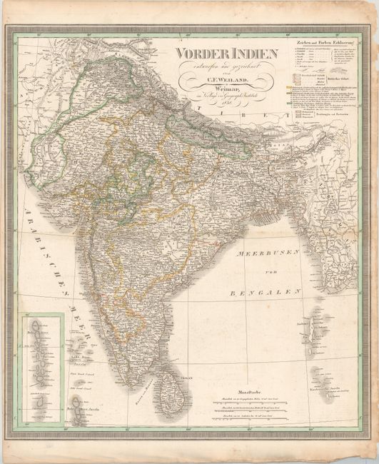
Subject: India
Period: 1838 (dated)
Publication:
Color: Hand Color
Size:
21.1 x 23.8 inches
53.6 x 60.5 cm
Download High Resolution Image
(or just click on image to launch the Zoom viewer)
(or just click on image to launch the Zoom viewer)