Catalog Archive
Auction 182, Lot 694
"Les Iles de Banda, Suivant les Meilleures Cartes Levees sur les Lieux", Aa, Pieter van der
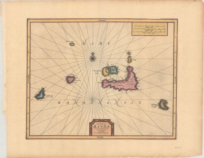
Subject: Banda Islands, Indonesia
Period: 1729 (circa)
Publication:
Color: Hand Color
Size:
13.4 x 10.8 inches
34 x 27.4 cm
Download High Resolution Image
(or just click on image to launch the Zoom viewer)
(or just click on image to launch the Zoom viewer)