Catalog Archive
Auction 182, Lot 573
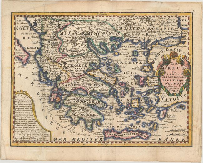
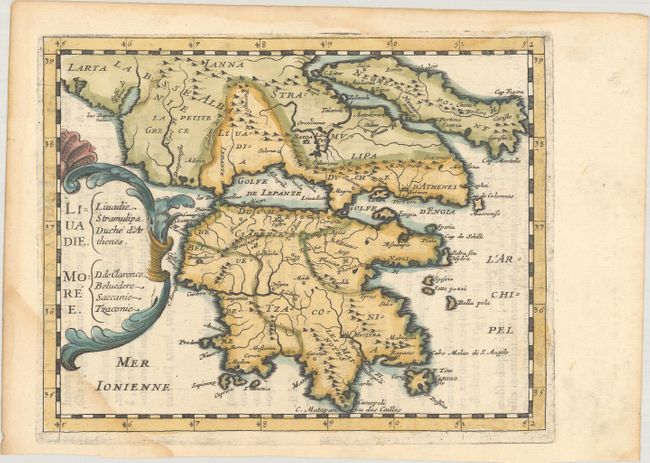
"[Lot of 2] La Grece ou Partie Meridionale de la Turquie d'Europe Dressee sur les Dernieres Observations [and] Liuadie. Moree",
1 of 2
Subject: Greece
Period: 1649-1719 (circa)
Publication:
Color: Hand Color
Size:
See Description
Download High Resolution Image
(or just click on image to launch the Zoom viewer)
(or just click on image to launch the Zoom viewer)