Catalog Archive
Auction 182, Lot 192
"United States North America ... The South Central Section Comprising Texas, Louisiana, Mississippi, Arkansas, Western Territory, and Part of Missouri", Swanston/Fullarton
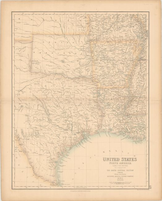
Subject: South Central United States
Period: 1862 (circa)
Publication:
Color: Hand Color
Size:
15.7 x 20.3 inches
39.9 x 51.6 cm
Download High Resolution Image
(or just click on image to launch the Zoom viewer)
(or just click on image to launch the Zoom viewer)