Catalog Archive
Auction 182, Lot 157

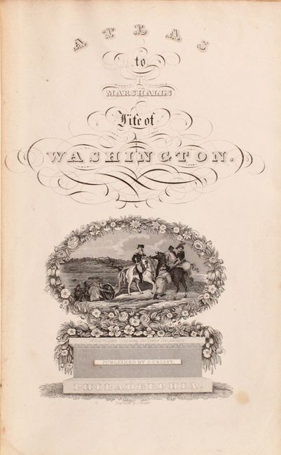
"Atlas to Marshall's Life of Washington", Marshall, John

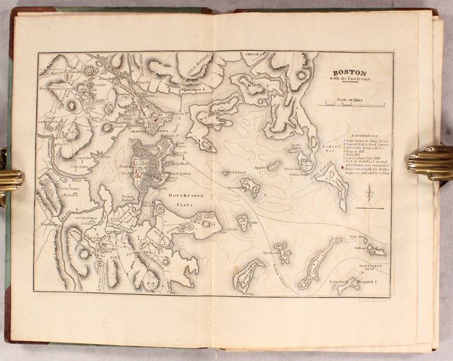
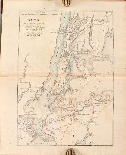
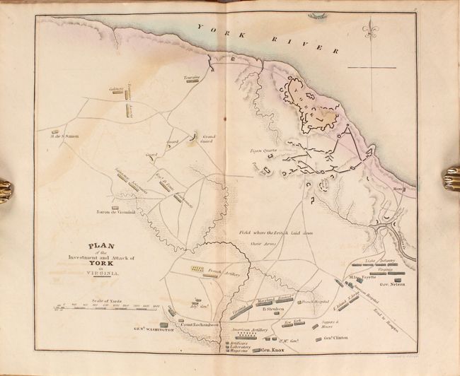
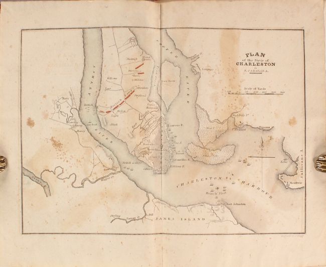
Subject: Eastern United States

Period: 1832 (circa)

Publication: The Life of George Washington...

Color: Hand Color

Size:
5.7 x 8.9 inches
14.5 x 22.6 cm
Download High Resolution Image
(or just click on image to launch the Zoom viewer)

This disbound atlas is complete with ten maps showing the positions and movements of General Washington, and several other British and American generals, which describe events during the American Revolutionary War. Of particular interest are maps of Boston, Charleston, New York, and Yorktown. The title page has a finely engraved vignette of Washington crossing the Delaware River. Published by J. Crissy in Philadelphia. The maps measure approximately 9 x 7" and include the following:

1) Boston with its Environs.
2) Plan of New York Island and part of Long Island Shewing the Position of the American & British Armies before and after the Engagement on the Heights August 27th 1776.
3) Plan of the Country from Frogs Point to Croton River Shewing the Positions of the American & British Armies from the 12th of Oct. 1776 until the Engagement on the White Plains.
4) Plan of the Northern part of New Jersey Shewing the Positions of the American & British Armies after crossing the North River in 1776.
5) Map of the Country from Raritan River in East Jersey to Elk Head in Maryland. Shewing the several Operations of the American & British Armies in 1776 & 1777.
6) Map of the Country which was the scene of Operations of the Northern Army Including the Wilderness Through which Genl. Arnold marched to attack Quebec.
7) Map of part of Rhode Island Shewing the Positions of the American & British Armies at the Siege of Newport and the subsequent Action on the 29th of August 1778.
8) Map of part of Virginia Northern Carolina South Carolina & Georgia which were the scenes of the most important Operations of the Southern Armies.
9) Plan of the Investment and Attack of York in Virginia.
10) Plan of the Siege of Charleston in S. Carolina.

References: Howes #M-317; Sabin #44788.

Condition: B

Maps are good to very good with light toning and offsetting. The map of Charleston also has scattered foxing. Disbound with boards present, which are lightly worn and stained.

Estimate: $350 - $425

Sold for: $300

Closed on 4/28/2021

Archived