Catalog Archive
Auction 181, Lot 736

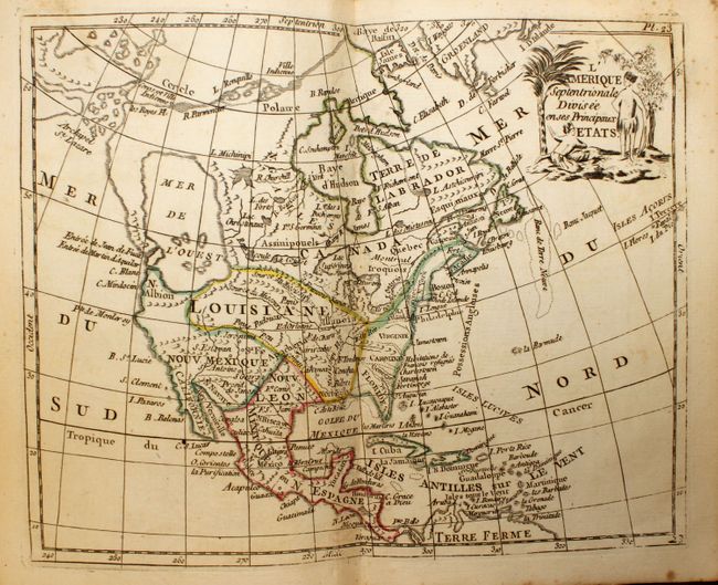
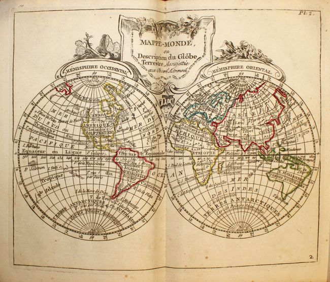
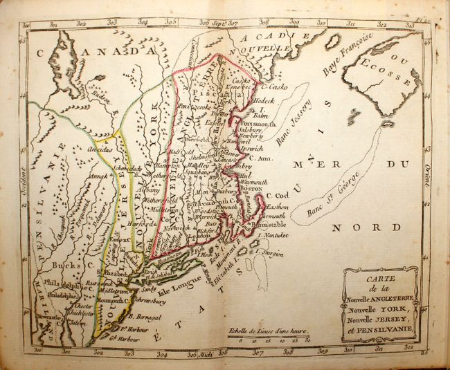
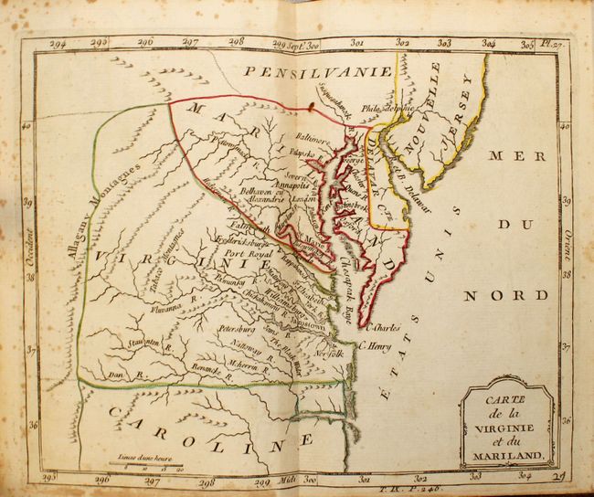
Complete Example with Contemporary Outline Color

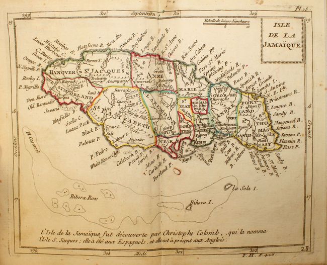
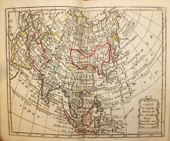
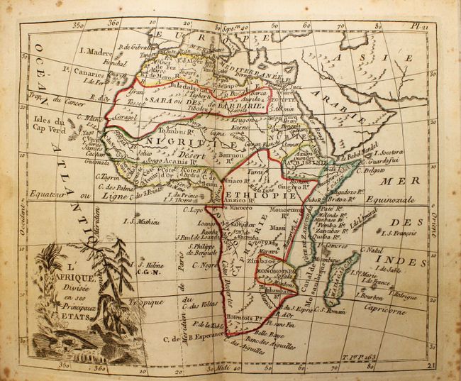
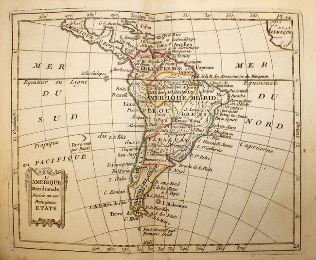
"Atlas Moderne Portatif, Compose de Vingt-Huit Cartes sur Toutes les Parties du Globe Terrestre", Laporte, Joseph de
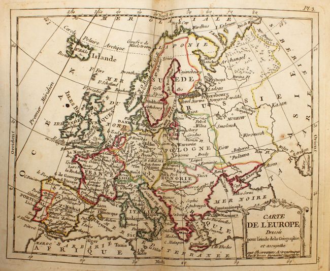
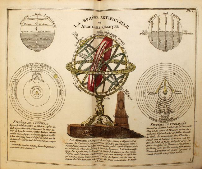
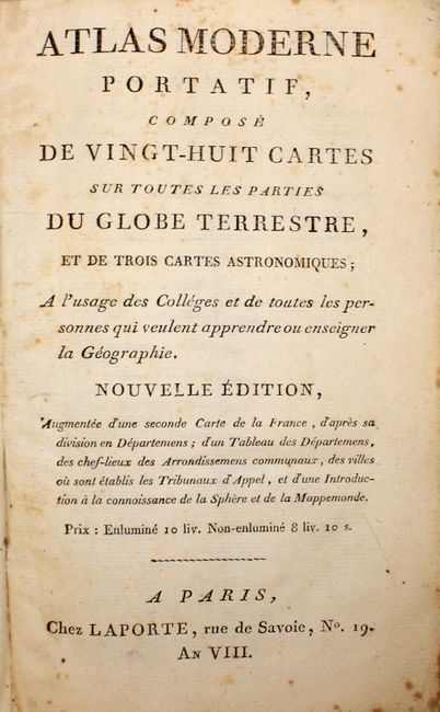
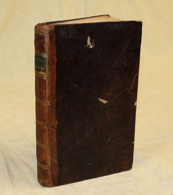
Subject: Atlases

Period: 1799 (circa)

Publication:

Color: Hand Color

Size:
5.1 x 8.1 inches
13 x 20.6 cm
Download High Resolution Image
(or just click on image to launch the Zoom viewer)

This complete atlas devotes a larger than usual number of maps to regions outside of Europe. The maps focused on the Americas include a map of North America, South America, the Gulf of Mexico, New England, Virginia and Maryland, and Jamaica. There are 28 double-page maps including two folding maps of France, a double-page celestial map, and 6 unnumbered, single-page plates containing astronomical charts. Accompanied by 46pp. of descriptive text. The cartographer is not named on the title page, though the introduction was written by Robert de Vaugondy. This atlas is sometimes attributed to Robert de Vaugondy and sometimes to D'Anville.

The North America map, L'Amerique Septentrionale Divisee en ses Principaux Etats, names the Entrée de Juan de Fuca, which leads to a very large Mer de L'Ouest and a supposed Northwest Passage stretches from Baffin Bay to the Archipel St. Lazare. There is not yet any sign of a recognizable Alaska. The British colonies are confined on the eastern seaboard with French Louisiana stretching to the Pacific Northwest.

Octavo, hardbound in contemporary leather with gilt title label on spine.

References:

Condition: B+

The maps, in contemporary outline color, are in very good to near fine condition with occasional light foxing and some minor toning on the two folding maps of France. The map of Jamaica has a small burn hole in a blank area of the image. Binding is sound and the leather covers are cracked and worn with two small abrasions on the front cover.

Estimate: $1,800 - $2,200

Unsold

Closed on 2/10/2021

Archived