Catalog Archive
Auction 181, Lot 654
"Inde Partie Meridionale de la Presqu'isle en deca du Gange", Tardieu, Pierre Francois
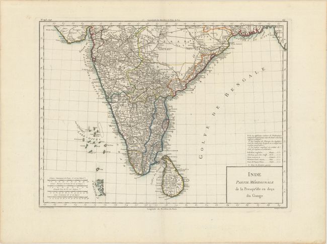
Subject: India & Sri Lanka
Period: 1797 (circa)
Publication:
Color: Hand Color
Size:
16.8 x 12.6 inches
42.7 x 32 cm
Download High Resolution Image
(or just click on image to launch the Zoom viewer)
(or just click on image to launch the Zoom viewer)