Catalog Archive
Auction 181, Lot 420

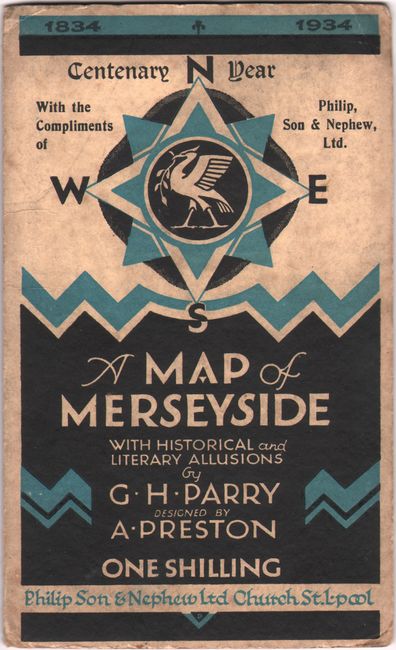
"A Map of Merseyside with Historical & Literary Allusions",

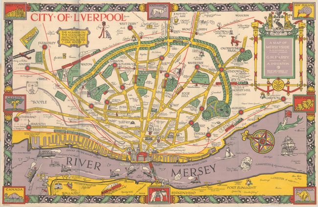
Subject: Liverpool, England

Period: 1934 (dated)

Publication:

Color: Printed Color

Size:
29.3 x 19 inches
74.4 x 48.3 cm
Download High Resolution Image
(or just click on image to launch the Zoom viewer)

This striking pictorial map of Liverpool by librarian George Henry Parry was designed by local artist Albert Preston and published by Philip Son & Nephew Ltd. The map was created to commemorate the centenary of George Philip and Son, whose original shop was established in 1834 on Paradise Street, Liverpool. The city's streets, railways, parks, football grounds, libraries, and more are well delineated. Major buildings are depicted pictorially, with especially nice detail of the distinctive architecture of Pier Head. The map is filled with notes on the history of Liverpool. The Mersey Estuary is filled with various ships, including the HMS Conway, a "schoolship" for training sailors, and the Lottie Sleigh, a sailing barque that exploded in January 1864. An elaborate compass rose in the river orients north to the left. The map is surrounded by a decorative border that incorporates 8 vignettes symbolizing England's colonial reach. A title cartouche at top right shows the city's coat of arms with its motto: Deus Nobis Haec Otia Fecit ("God has granted us this ease"). The map folds into paper covers (4.4 x 7.2").

References: Rumsey #11550.002.

Condition: B+

A colorful example with some short splits at the fold junctions and sheet edges. The paper covers have light soiling and wear.

Estimate: $250 - $325

Sold for: $210

Closed on 2/10/2021

Archived