Catalog Archive
Auction 181, Lot 402

"Li Regni d'Inghilterra e d'Irlanda di Nuova Projezione", Zatta, Antonio

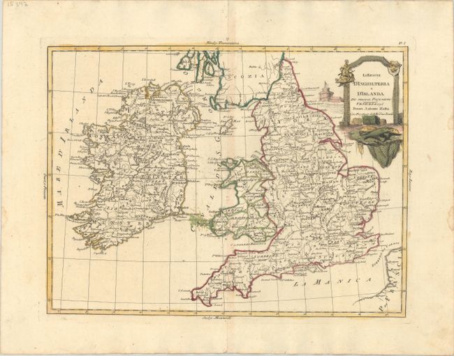
Subject: England, Wales, & Ireland

Period: 1776 (dated)

Publication: Atlante Novissimo

Color: Hand Color

Size:
15.6 x 11.8 inches
39.6 x 30 cm
Download High Resolution Image
(or just click on image to launch the Zoom viewer)

This elegantly engraved Italian map covers England, Wales, and Ireland. The map shows towns, cities, counties and provinces, and some topographical detail. A few place names and rivers appear in southern Scotland, but it is otherwise left blank. At top right there is a decorative title cartouche featuring Saint George and the Dragon, a coat of arms with three crowns, and fishing nets.

References: Shirley (BL Atlases) T.ZAT-1a #36.

Condition: B+

A nice impression with full contemporary color, minor toning along the centerfold, some errant colorist's ink in the Irish Sea, and a couple small dampstains in the right blank margin.

Estimate: $230 - $275

Sold for: $120

Closed on 2/10/2021

Archived