Catalog Archive
Auction 181, Lot 386

"The Bermuda Islands",
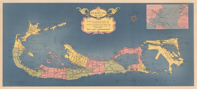
Subject: Bermuda

Period: 1950 (circa)

Publication:

Color: Printed Color

Size:
35.4 x 15.5 inches
89.9 x 39.4 cm
Download High Resolution Image
(or just click on image to launch the Zoom viewer)

A colorful map created by Rand McNally and published by the Bermuda Trade Development Board. Divided into nine parishes, the map locates hotels, golf courses, lighthouses, beaches, roads, ferries and more. The lone railroad links the islands together, traveling from Somerset to St. George. Features an inset at top showing Bermuda as the "hub of many routes." Decorated by a compass rose and strapwork title cartouche with enclosed distance scale.

References:

Condition: A

A colorful example with just a hint of toning. A few tiny edge tears are confined to the blank margins.

Estimate: $140 - $170

Sold for: $90

Closed on 2/10/2021

Archived