Catalog Archive
Auction 181, Lot 374

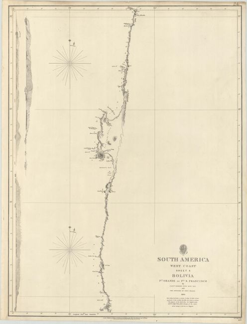
"[Lot of 5] South America West Coast Sheet VII... [and] ... Sheet VIII... [and] ... Sheet IX... [and] ... Sheet X Bolivia... [and] ... Sheet X Coast of Chile...", British Admiralty
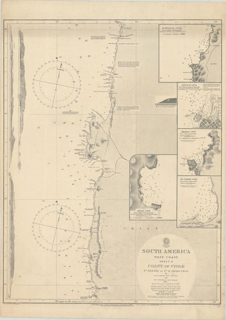
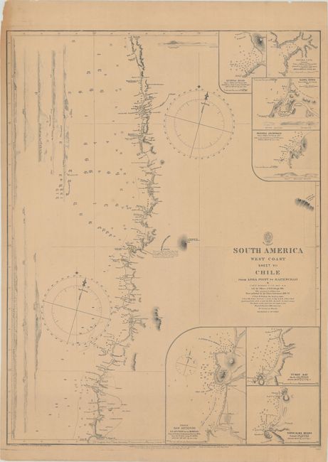
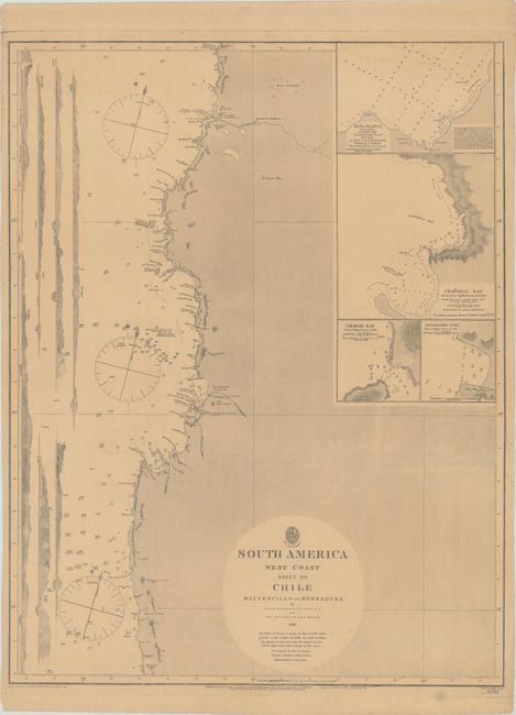
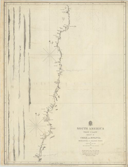
Subject: Western South America

Period: 1840-98 (dated)

Publication:

Color: Black & White

Size:
See Description
Download High Resolution Image
(or just click on image to launch the Zoom viewer)

This lot of working British Admiralty charts covers much of the west coast of South America. All have land-view elevations of the shore to assist the mariner, sailing notes, soundings, tidal notes, and magnetic variation rose. The lot includes:

A. South America West Coast Sheet VII Chile from Lora Point to Maitencillo, dated 1897 (18.5 x 24.4"). With seven inset charts: Quintai Road; Oscuro Cove; Rapel River; Matanza Anchorage; Ports San Antonio & S. Antonio de las Bodegas; Tuman Bay; and Topocalma Roads.
B. South America West Coast Sheet VIII Chile Maitencillo to Herradura, dated 1898 (18.6 x 24.1"). Includes four inset plans of Pena Blanca; Chanaral Bay; Choros Bay; and Apolillado Cove.
C. South America West Coast Sheet IX Chile and Bolivia Herradura to Grande Point, dated 1840 (18.4 x 24.4").
D. South America West Coast Sheet X Bolivia Pt. Grande to Pt. S. Francisco, dated 1841 (18.4 x 24.4").
E. South America West Coast Sheet X Coast of Chile Pt. Grande to Pt. S. Francisco, dated 1897 (18.6 x 24.3"). Includes five inset plans of Guanillos Cove; Antofagasta; Chimba Cove; El Cobre Cove; and Abtao Cove.

References:

Condition: B+

On thick, sturdy paper as issued, each with a little soiling from use with occasional foxing. The first two sheets (VII and VIII) are moderately toned.

Estimate: $250 - $350

Sold for: $165

Closed on 2/10/2021

Archived