Catalog Archive
Auction 181, Lot 311
"Mexico & Texas", Philip, George
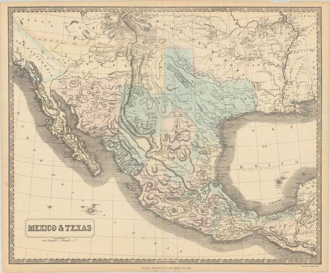
Subject: Southwestern United States & Mexico
Period: 1851 (dated)
Publication:
Color: Hand Color
Size:
24.5 x 20.2 inches
62.2 x 51.3 cm
Download High Resolution Image
(or just click on image to launch the Zoom viewer)
(or just click on image to launch the Zoom viewer)