Catalog Archive
Auction 181, Lot 263

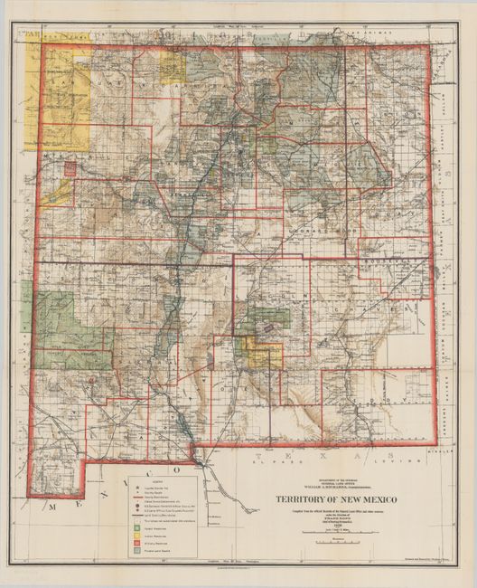
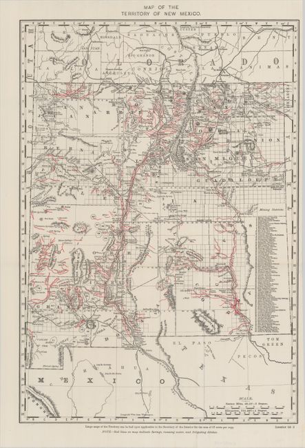
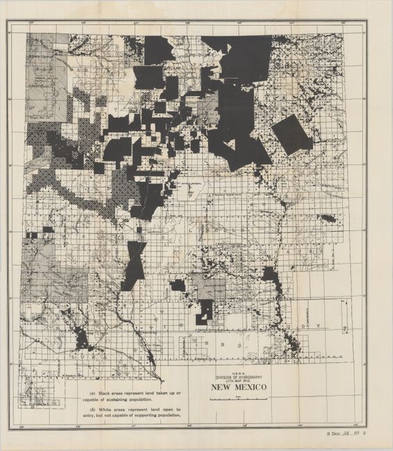
"[Lot of 3] Territory of New Mexico [and] Map of the Territory of New Mexico [and] Lith. Map No. 12. New Mexico", U.S. Government

Subject: New Mexico

Period: 1900-03 (circa)

Publication:

Color:

Size:
See Description
Download High Resolution Image
(or just click on image to launch the Zoom viewer)

A. Territory of New Mexico, by General Land Office, dated 1903, printed color (18.0 x 21.7"). This colorful and fascinating map with great detail was published only nine years before New Mexico obtained statehood. The extent of existing Indian reservations, Military reservations, Forest Reserves and Private Land Grants is shown through color and hash. The map is filled with information on watershed, mountains, railroads, wagon roads, unsurveyed townships, etc. In 1903, Guadalupe county was renamed Leonard Wood and then returned to Guadalupe in 1905. This is the only map we are aware of that shows the short-lived county of Leonard Wood. The map was compiled by Frank Bond, Chief of Drafting Division. Condition: Fine (A+)

B. Map of the Territory of New Mexico, by General Land Office, circa 1900, printed color (12.9 x 18.6"). This detailed map identifies 80 mining districts which are listed in a table along the right margin. A note in the lower margin states "Red lines on map indicate springs, running water, and irrigating ditches." Condition: Clean and bright with a tiny edge tear at right that has been closed on verso with archival tape. (A)

C. Lith. Map No. 12. New Mexico, by U.S. Geological Survey (USGS), circa 1902, black & white (16.6 x 18.9"). This map accompanied the 1902 Congressional report on preparations for New Mexico statehood and shows areas that could and could not support population. Unlike the similar statehood planning map of Arizona, most of New Mexico is shown as able to support population. Condition: Fine. (A+)

References:

Condition:

Issued folding. See description above for details.

Estimate: $180 - $220

Sold for: $120

Closed on 2/10/2021

Archived