Catalog Archive
Auction 180, Lot 580
"Larii Lacus Vulgo Comensis Descriptio, Auct. Pavio Jovio [on sheet with] Territorii Romani Descrip. [and] Fori Iulii, Vulgo Friuli Typus", Ortelius, Abraham
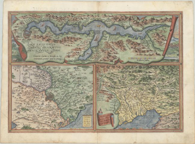
Subject: Northern & Central Italy, Lake Como
Period: 1572 (published)
Publication: Theatrum Orbis Terrarum
Color: Hand Color
Size:
19 x 13.2 inches
48.3 x 33.5 cm
Download High Resolution Image
(or just click on image to launch the Zoom viewer)
(or just click on image to launch the Zoom viewer)