Catalog Archive
Auction 180, Lot 496

"Palatinatus Bavariae", Mercator/Hondius
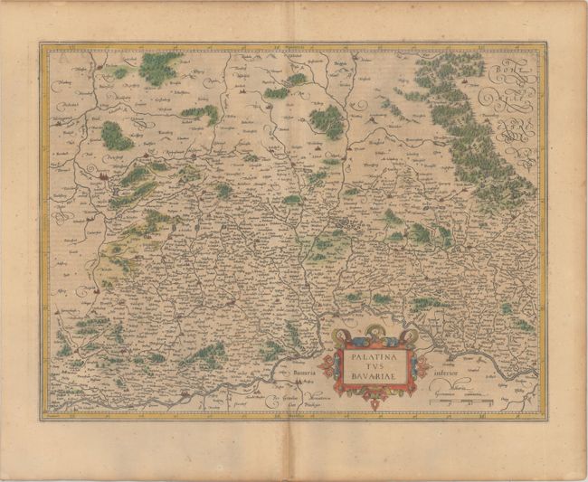
Subject: Southeastern Germany

Period: 1619 (published)

Publication: Gerardi Mercatoris - Atlas sive Cosmographicae

Color: Hand Color

Size:
19.6 x 14.6 inches
49.8 x 37.1 cm
Download High Resolution Image
(or just click on image to launch the Zoom viewer)

Beautiful map of the Bavarian region including Regensburg, Ingolstadt and Nurnberg. The Danube River flows across the bottom of the map, which is fully engraved with forests, rivers and hundreds of villages and embellished with a fine strapwork title cartouche. French text on verso.

References: Van der Krogt (Vol. I) #2670:1.1.

Condition: B+

Light toning with minor foxing and a bit of show-through of text on verso.

Estimate: $140 - $170

Sold for: $70

Closed on 11/18/2020

Archived