Catalog Archive
Auction 180, Lot 487

"Nova Totius Germaniae Descriptio. Teutschland", Merian, Matthaus

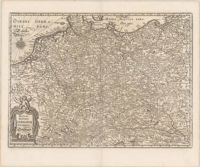
Subject: Central Europe, Germany

Period: 1662 (circa)

Publication: Theatrum Europaeum...

Color: Black & White

Size:
14.5 x 10.6 inches
36.8 x 26.9 cm
Download High Resolution Image
(or just click on image to launch the Zoom viewer)

This map of the German Empire covers present-day Germany, Poland, Netherlands, Belgium, Switzerland, Austria, Czech Republic, and parts of Poland and Hungary. The map is densely engraved with information on political boundaries, towns, rivers, and topography. The decorative cartouche features a cherub, grapes, and other fruits.

References: Shirley (BL Atlases) G.MERI-2b #2.

Condition: A

A dark impression on a bright watermarked sheet with a pair of wormholes only visible when held to light.

Estimate: $140 - $170

Sold for: $100

Closed on 11/18/2020

Archived