Catalog Archive
Auction 180, Lot 466
"Galliae Narbonensis Ora Marittima Recenter Descripta [on sheet with] Sabaudiae, et Burgundiae Comitatus Descriptio; Auctore Aegidio Bulionio Belga", Ortelius, Abraham
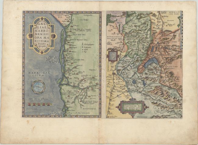
Subject: Southern France & Switzerland
Period: 1572 (published)
Publication: Theatrum Orbis Terrarum
Color: Hand Color
Size:
17.4 x 11.7 inches
44.2 x 29.7 cm
Download High Resolution Image
(or just click on image to launch the Zoom viewer)
(or just click on image to launch the Zoom viewer)