Catalog Archive
Auction 180, Lot 456
"Leodiensis Episcopatus pars Septentrionalis, Comprehendens Comitatum Lossensem et Hornanum", Visscher, Nicolas
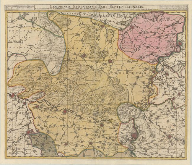
Subject: Northeastern Belgium & Southeastern Netherlands
Period: 1680 (circa)
Publication:
Color: Hand Color
Size:
22.9 x 19.4 inches
58.2 x 49.3 cm
Download High Resolution Image
(or just click on image to launch the Zoom viewer)
(or just click on image to launch the Zoom viewer)