Catalog Archive
Auction 180, Lot 367

"Brasil, waar van de Kust door de Portugeezen Bezeten, en in Veertien Hoostgebieden Verdeelt Word...", Sanson, Nicolas
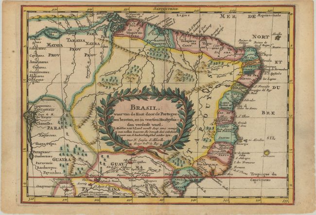
Subject: Brazil

Period: 1705 (published)

Publication: Algemeene Weereld-Beschryving…

Color: Hand Color

Size:
10.7 x 7.8 inches
27.2 x 19.8 cm
Download High Resolution Image
(or just click on image to launch the Zoom viewer)

This is a reduced version of Sanson's important map showing the Portuguese possessions in Brazil. The coastal regions were divided by the Portuguese Crown into fourteen Capitanias, or hereditary harbor offices. The holders of these grants, called donees (donatários), were responsible for their defense and development. There is also a fair amount of detail in the interior, along the major rivers. The mythical Lago de R. los Xarayes appears at left and the otherwise unknown interior is conveniently covered by the decorative title cartouche. Published in Francois Halma's Dutch edition of A. Pherotee de la Croix's Nouvelle Methode Pour Apprendre facilement la Geographie Universelle.

Sanson's small maps from his L'Amerique en Plusieurs Cartes..., first published in 1657 and engraved by A. Peyrounin, were copied several times by various map publishers. Johann David Zunners made copies of Sanson's maps for his German translation of Die Gantze Erd-Kugel in 1679. Johannes Ribbius and Simon de Vries published copies in 1682 and 1683, with new maps engraved by Antoine d'Winter. The plates were later sold to Francois Halma, who used them in 1699 and then again in 1705 with the titles re-engraved in Dutch. The titles on the d'Winter plates were re-engraved back into French, and then used by Nicholas Chemereau in 1715 and by Henri du Sauzet in 1738.

References:

Condition: B+

A sharp impression with light toning that is mostly confined to the centerfold and blank margins. A small worm track along the centerfold in the bottom border has been professionally infilled on verso.

Estimate: $140 - $170

Sold for: $100

Closed on 11/18/2020

Archived