Catalog Archive
Auction 180, Lot 319

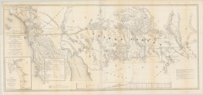
Cornerstone Map of the Gadsden Purchase

"Map of That Portion of the Boundary Between the United States and Mexico, from the Pacific Coast to the Junction of the Gila and Colorado Rivers ... and the Rio Gila from Near its Intersection, with the Southern Boundary of New Mexico...", Gray, Andrew B.

Subject: Southwestern United States & Mexico

Period: 1855 (dated)

Publication: Sen. Ex. Doc. 55, 33rd Congress, 2nd Session

Color: Black & White

Size:
49.1 x 21.8 inches
124.7 x 55.4 cm
Download High Resolution Image
(or just click on image to launch the Zoom viewer)
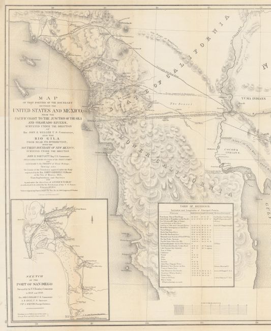
This superb map is an excellent example of the quality of government mapping during the westward expansion. It illustrates the region acquired by the United States in the Gadsden Purchase of 1854. Andrew Gray served as chief surveyor of the US-Mexican commission that established the border along the Gila River with the Treaty of Guadalupe Hidalgo. Disputed territory in the Mesilla Valley of New Mexico combined with political pressure to acquire land for a southern railroad route to the Pacific resulted in the compromise of the Gadsden Purchase. The map delineates the disputed territories and boundaries and shows several potential railroad routes, as well as a myriad of other interesting information. The map is part of the final documentation of the boundary treaty.

References: Wheat (TMW) #840.

Condition: B+

Issued folding on two sheets joined, now pressed flat. There are a couple short separations and a binding tear that have been closed with archival tape on verso, a small chip by the title, and some light toning along the folds.

Estimate: $1,000 - $1,300

Sold for: $1,500

Closed on 11/18/2020

Archived