Catalog Archive
Auction 180, Lot 257

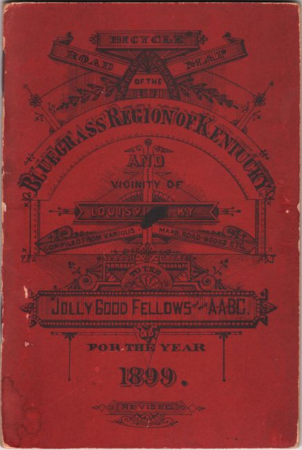
"Bicycle Road Map of the Bluegrass Region of Kentucky and Vicinity of Louisville, KY. Compiled from Various Maps, Road-Books Etc. to the Jolly Fellows of the A.A.B.C.",

Subject: Kentucky

Period: 1899 (dated)

Publication:

Color: Black & White

Size:
28.6 x 20.2 inches
72.6 x 51.3 cm
Download High Resolution Image
(or just click on image to launch the Zoom viewer)

This scarce pocket map of Kentucky was issued by Webster Gazlay and extends from Louisville east to Lexington, Marysville, Owingsville, and McKee on a scale of 5 miles per inch. An explanation at right describes the type of roads one would encounter through the "Bluegrass Region" including level, rolling, hilly, very hilly, and more. Decorated by a fancy title cartouche. Accompanied by 17 pages of text that includes a list of "Some Noted Bluegrass Farms" and provides bicycling directions to them. There are no past sales records and only three institutional examples located on OCLC. Wide octavo, folds into red paper wrappers.

References:

Condition: B+

Issued folding with light toning along the fold lines and a few tiny splits at the fold junctions. Text is very good with light toning. Covers are lightly worn.

Estimate: $160 - $190

Sold for: $120

Closed on 11/18/2020

Archived