Catalog Archive
Auction 180, Lot 226

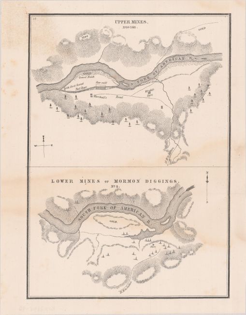
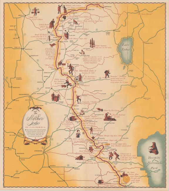
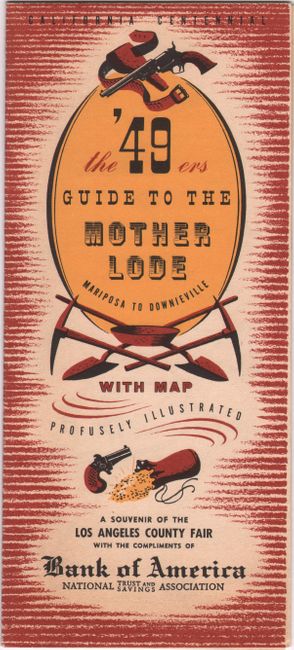
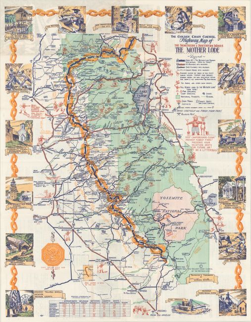
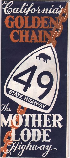
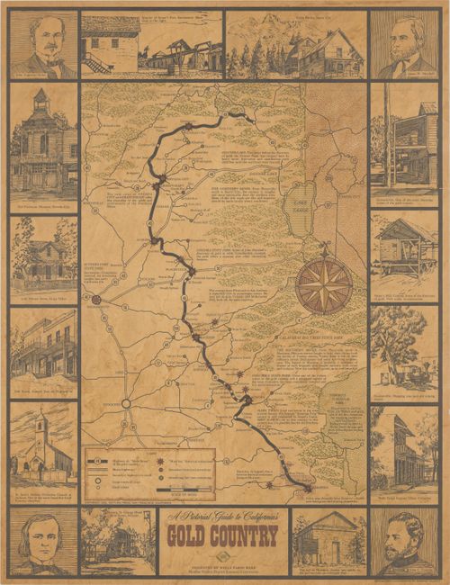
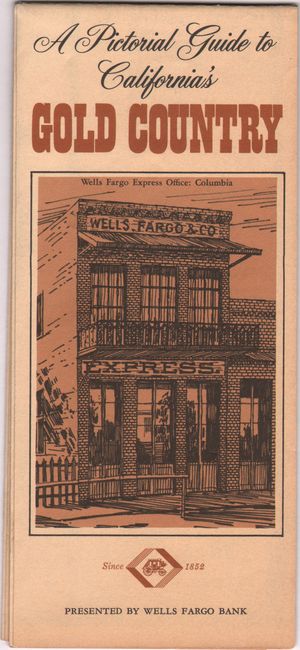
"[Lot of 4] Upper Mines Nos 1 & 8 [on sheet with] Lower Mines or Mormon Diggings. No. 3 [and] The Mother Lode of California [and] The Golden Chain Council Highway Map of the Northern & Southern Mines... [and] A Pictorial Guide to California's Gold Country",

Subject: Central California, Gold

Period: 1848-1965 (circa)

Publication:

Color:

Size:
See Description
Download High Resolution Image
(or just click on image to launch the Zoom viewer)

An unusual lot featuring an early map locating the gold discoveries and three later pictorial maps celebrating the Gold Rush:

A. Upper Mines Nos 1 & 8 [on sheet with] Lower Mines or Mormon Diggings. No. 3, by William T. Sherman, circa 1848, black & white (6.4 x 8.9"). These small maps were issued in Colonel Mason's famous report that spawned the great California Gold Rush. The top half shows the Upper Mines along the South Fork of the American River and notes where gold first found by James W. Marshall. The bottom map depicts numerous tents surrounding a store with a large area of the river bar marked gold. Reference: Wheat (Gold) #52. Condition: Issued folding with a light dampstain around the lower fold and a few spots of foxing. (B)

B. The Mother Lode of California, by Bank of America, dated 1949, printed color (15.1 x 17.1"). A pictorial map of the "Mother Lode" region celebrating gold discovery with small stars indicating bank branches. A souvenir of the Los Angeles County Fair with compliments of Bank of America. Self-folding (4.0 x 8.8"). Reference: Rumsey #8027. Condition: Fine, issued folding. (A+)

C. The Golden Chain Council Highway Map of the Northern & Southern Mines the Mother Lode, by William Wintle, circa 1960, printed color (16.5 x 21.1"). This promotional map covers the region from Yosemite National Park to north of Lake Tahoe with a large gold chain delineating the "Mother Lode." Includes a legend with information relevant to the tourist including ski areas, campgrounds, lakes, state parks, and more. Surrounded by a decorative vignette border illustrating the region's gold mining history. Self-folding (3.75" x 8.5") with related text and illustrations on verso. Reference: Rumsey #8128. Condition: Clean and bright with a few tiny splits at the fold junctions. (A)

D. A Pictorial Guide to California's Gold Country, by Warren Talcott, dated 1965, printed color (16.1 x 21.1"). Also focused on the gold region, this map is surrounded by illustrations of historical scenes and important figures. Features a legend at bottom including "Must See" attractions. Issued by Wells Fargo Bank. Self-folding (3.7 x 8.3"). Condition: A clean example, issued folding, with one tiny fold separation at bottom. (A)

References:

Condition:

See description above.

Estimate: $200 - $250

Sold for: $120

Closed on 11/18/2020

Archived