Catalog Archive
Auction 180, Lot 148

"United States of America", Melish, John

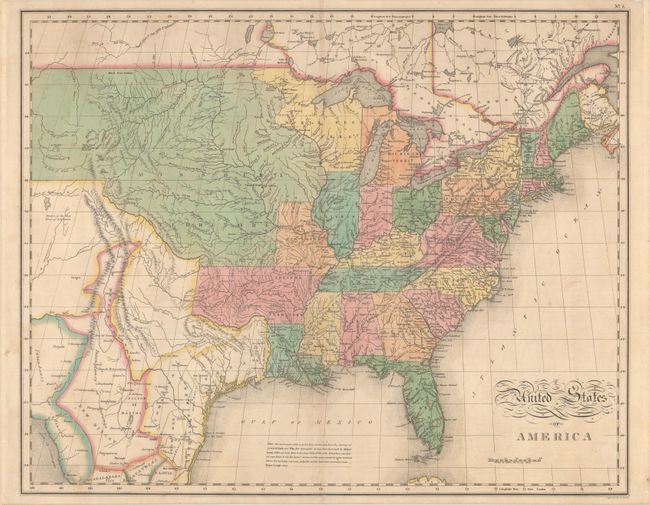
Subject: Eastern United States

Period: 1827 (published)

Publication: A Complete Historical, Chronological, and Geographical American Atlas

Color: Hand Color

Size:
21.1 x 16.8 inches
53.6 x 42.7 cm
Download High Resolution Image
(or just click on image to launch the Zoom viewer)

This version of Melish’s seminal map of the United States extends west to the Rocky Mountains and provides a detailed view of the region based on information from the expeditions of Lewis & Clark and Pike. A notation at the western edge of the map shows where "Clarks Canoes stop 3000 miles from the Mississippi." The Missouri Territory takes in the entire northern plains region from the Mississippi to the Rocky Mountains. The new state of Missouri is presented with preliminary boundaries, and Arkansas is shown at its largest extent. Today's Minnesota and Wisconsin are here a part of North West Territory. In Texas there are a few place names including Ft. Matagorda, but Galveston is poorly located. One of the most interesting features of the map is the river systems in the West, near the Highest Peak, where the headwaters of several major rivers all originate within a few miles of one another - Red River of California (Colorado), Multnomah (Willamette), Rio del Norte (Rio Grande), Arkansaw (Arkansas), and the Platte. This edition includes a notation in the Gulf of Mexico explaining the sources of the map and noting that recent surveys made by Major Long have been incorporated where "the mistakes were very palpable." Interestingly the map does not note Long’s famous Great American Desert. Engraved by Benjamin Tanner.

References: cf. Wheat (TMW) #338; Phillips (A) #1177.

Condition: B+

Contemporary color with some faint toning along the centerfold and minor offsetting. A 2" centerfold separation at top has been closed with archival tape on verso.

Estimate: $750 - $900

Sold for: $1,300

Closed on 11/18/2020

Archived