Catalog Archive
Auction 179, Lot 98

"North America", Smith, Charles

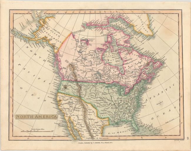
Subject: North America

Period: 1824 (dated)

Publication:

Color: Hand Color

Size:
13.9 x 10.4 inches
35.3 x 26.4 cm
Download High Resolution Image
(or just click on image to launch the Zoom viewer)

A nice map showing the young United States extending to the Pacific Northwest. A large Northwest Territory occupies today's Wisconsin and eastern Minnesota, while Arkansas Territory is shown in its largest configuration including present-day Oklahoma. The map reflects the recent discoveries of Lewis & Clark with good detail of the Missouri River and its tributaries. In the Great Basin, three rivers are shown running unabated to the Pacific, and there is no mention of Texas in the Southwest. In the north, Alaska is still coming into shape and labeled Russian Settlements and the Aleutian Islands called Alyanska. In the far north, the recent discoveries of William Parry are shown beyond Crokers Bay. Engraved by B. Smith.

References:

Condition: B+

There are faint stains in the corners from adhesive used for framing on verso.

Estimate: $180 - $220

Sold for: $220

Closed on 9/16/2020

Archived