Catalog Archive
Auction 179, Lot 878

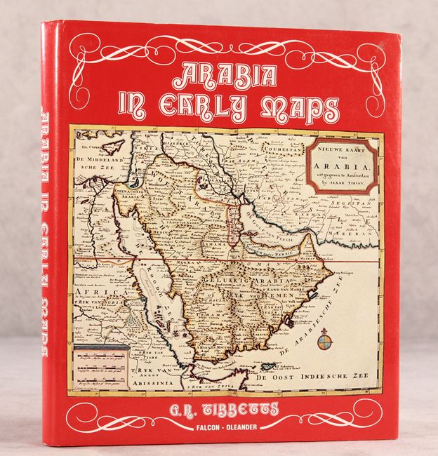
"Arabia in Early Maps - A Bibliography of Maps Covering the Peninsula of Arabia...",

Subject: References, Arabia

Period: 1978 (published)

Publication:

Color: Printed Color

Size:
8.6 x 10 inches
21.8 x 25.4 cm
Download High Resolution Image
(or just click on image to launch the Zoom viewer)

G.R. Tibbetts' informative reference focuses on European maps of the Arabian Peninsula made before Carsten Niebuhr's Danish Arabia expedition in 1761. The chronological bibliography covers 281 maps, ranging from Ptolemaic maps of the region from the 15th century to D'Anville's 1751 map of Asia. It includes a chapter outlining the history of cartography of the Arabian Peninsula. Features 22 illustrations, some in color. An invaluable reference for anybody interested in the region.

References:

Condition: A

Near fine, with minor wear to dust jacket.

Estimate: $200 - $230

Sold for: $110

Closed on 9/16/2020

Archived