Catalog Archive
Auction 179, Lot 793

"Carte Reduite des Costes Occidentales d'Afrique Seconde Feuille Depuis le Cap Bojador Jusqu'a la Riviere de Sierra Leona Pour le Service des Vaisseaux du Roy…", Bellin, Jacques Nicolas

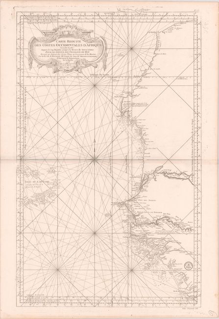
Subject: Northwestern Africa

Period: 1765 (dated)

Publication:

Color: Black & White

Size:
21.5 x 34.8 inches
54.6 x 88.4 cm
Download High Resolution Image
(or just click on image to launch the Zoom viewer)

This large nautical chart of the West African coast, from Sierra Leone to southern Morocco, includes the Cape Verde Islands and part of the Canaries, all on a scale of about 1:3,000,000. A tremendous amount of information is presented along the coastline with soundings, safe anchorages, rocks and shoals. The major rivers are also shown in detail with villages, forts and notations. There is a large decorative title cartouche in the upper left, and the seal of the Depot del la Marine in the lower right, with Prix Cinquante Sols below the neatline. The chart was originally drawn in 1753; this example is updated to 1765.

Jacques Nicolas Bellin began working for the Depot des Cartes et Plans de la Marine at age eighteen and remained there for his entire life, becoming ingenieur-hydrograph in 1741. Though he never traveled himself, he gathered an incredible amount of cartographic information from various sources and compiled it to produce some of the most important French maps, particularly sea charts, of the 18th century.

References:

Condition: B+

A nice impression on a bright, sturdy sheet with a sea lion watermark, very light offsetting, and marginal soiling.

Estimate: $240 - $300

Unsold

Closed on 9/16/2020

Archived