Catalog Archive
Auction 179, Lot 619
"Die Stadt Prevesa und die Vestung S. Maura", Merian, Matthaus
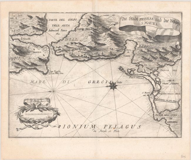
Subject: Northwestern Greece
Period: 1688 (circa)
Publication:
Color: Black & White
Size:
14.1 x 10.3 inches
35.8 x 26.2 cm
Download High Resolution Image
(or just click on image to launch the Zoom viewer)
(or just click on image to launch the Zoom viewer)