Catalog Archive
Auction 179, Lot 501
"Carte des Couronnes du Nord Comprenant les Royaumes de Suede, Norwege, et de Danemark", Herisson, Eustache
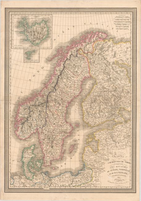
Subject: Scandinavia
Period: 1833 (dated)
Publication:
Color: Hand Color
Size:
21.9 x 30.8 inches
55.6 x 78.2 cm
Download High Resolution Image
(or just click on image to launch the Zoom viewer)
(or just click on image to launch the Zoom viewer)