Catalog Archive
Auction 179, Lot 428

"Carta Geographica que Comprende los Rios de la Plata, Parana, Uruguay y Grande y los Terrenos Adyacentes", Cary, George

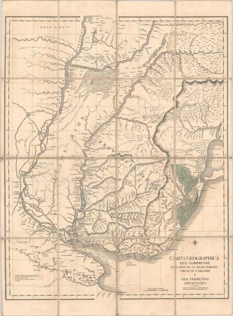
Subject: Uruguay, Argentina, Brazil & Paraguay

Period: 1827 (dated)

Publication:

Color: Hand Color

Size:
23.8 x 30.2 inches
60.5 x 76.7 cm
Download High Resolution Image
(or just click on image to launch the Zoom viewer)

This map focuses on the extensive river system in southeastern South America, beginning at the Rio de la Plata and extending through the Uruguay and Parana Rivers. There is meticulous detail of all the various rivers, tributaries, and lakes in the region, as well as numerous depth soundings at the mouth of the Rio de la Plata. The map also depicts the change in boundary lines between the Spanish and Portuguese territories from 1777 to the date of publication, with the 1777 boundary denoted by a yellow dotted-and-dashed line, and the current boundary denoted by a red line. The green areas surrounding the Laguna Merim are neutral. Dissected and mounted on linen, as issued.

References:

Condition: B+

A crisp impression with contemporary color and very light, scattered foxing.

Estimate: $275 - $350

Sold for: $2,000

Closed on 9/16/2020

Archived