Catalog Archive
Auction 179, Lot 412

NO RESERVE

"The Caracas", Pinkerton, John

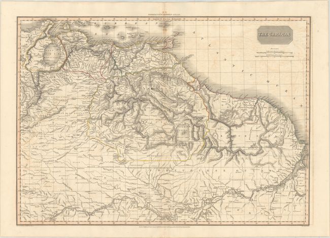
Subject: Northern South America

Period: 1810 (dated)

Publication: A Modern Atlas

Color: Hand Color

Size:
27.6 x 19.7 inches
70.1 x 50 cm
Download High Resolution Image
(or just click on image to launch the Zoom viewer)

This precisely engraved map covers the region from Lake Maracaibo to the Amazon River. The map was issued at the outset of the tumultuous Venezuelan War of Independence and civil war which engulfed the region. The region is divided into Venezuela, Maracaibo, Cumana, and the Spanish, Dutch, French and Portuguese colonies in Guyana. The title reflects the Caracas Junta that led the Venezuelan fight for independence. This map is one of the last to show the mythical Lake Parima, which is here also labeled as the White Sea.

References:

Condition: B+

Contemporary outline color with light offsetting, a bit of toning along the centerfold, and a small paper flaw to the left of the centerfold.

Estimate: $190 - $220

Unsold

Closed on 9/16/2020

Archived